
| Prev | Index | Next |
July 24, 2010
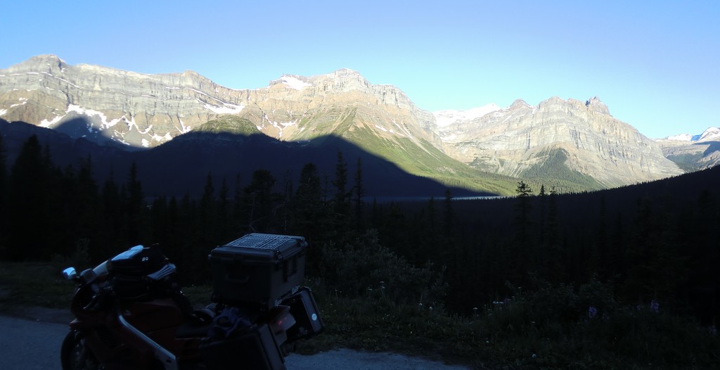
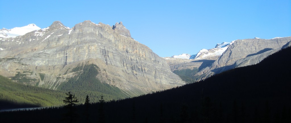
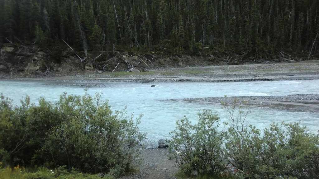
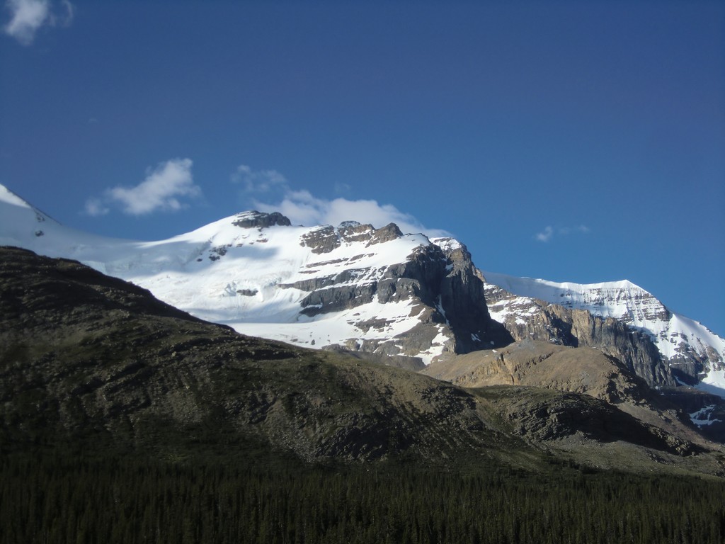
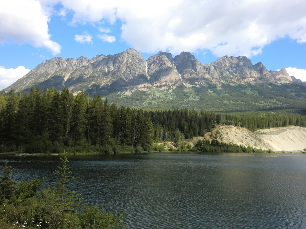
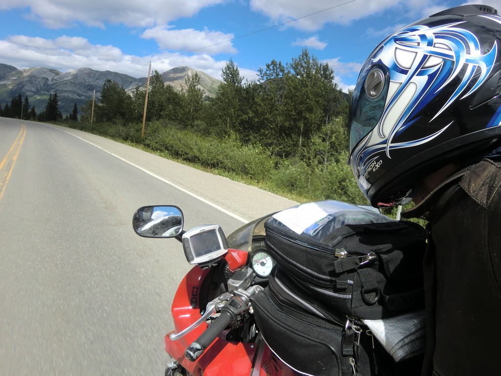
I left early and rode northwest through the mountain pass towards Jasper. It was very cold in the valley; the sun had not risen above surrouding ridges, and the nearby glacial ice kept it chilled. I stopped at a pull-off to put on my boots and raingear to help cut the wind. There was what I think was a glacial stream that flowed through the valley; the water was a very pale ice blue, and very cold.
|
|
|
|
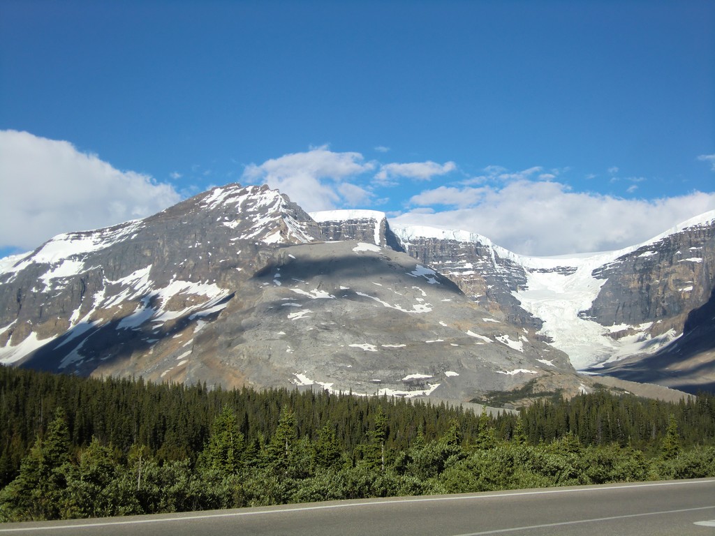
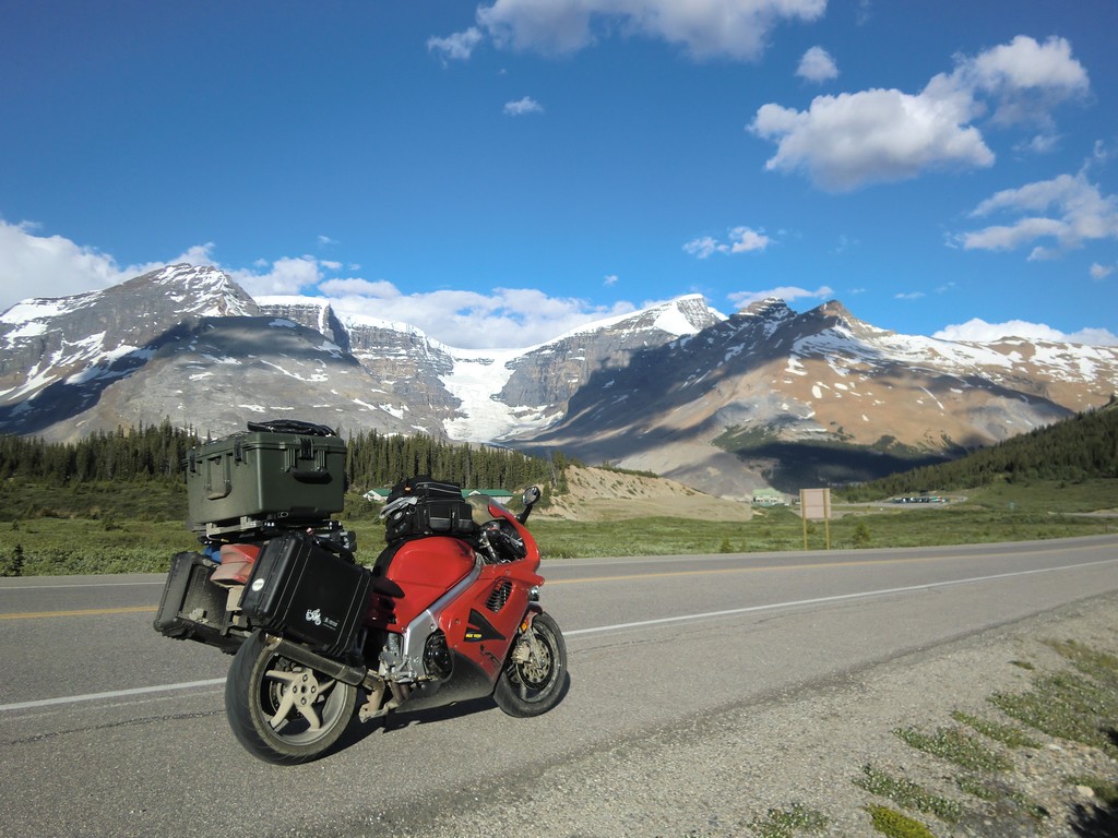
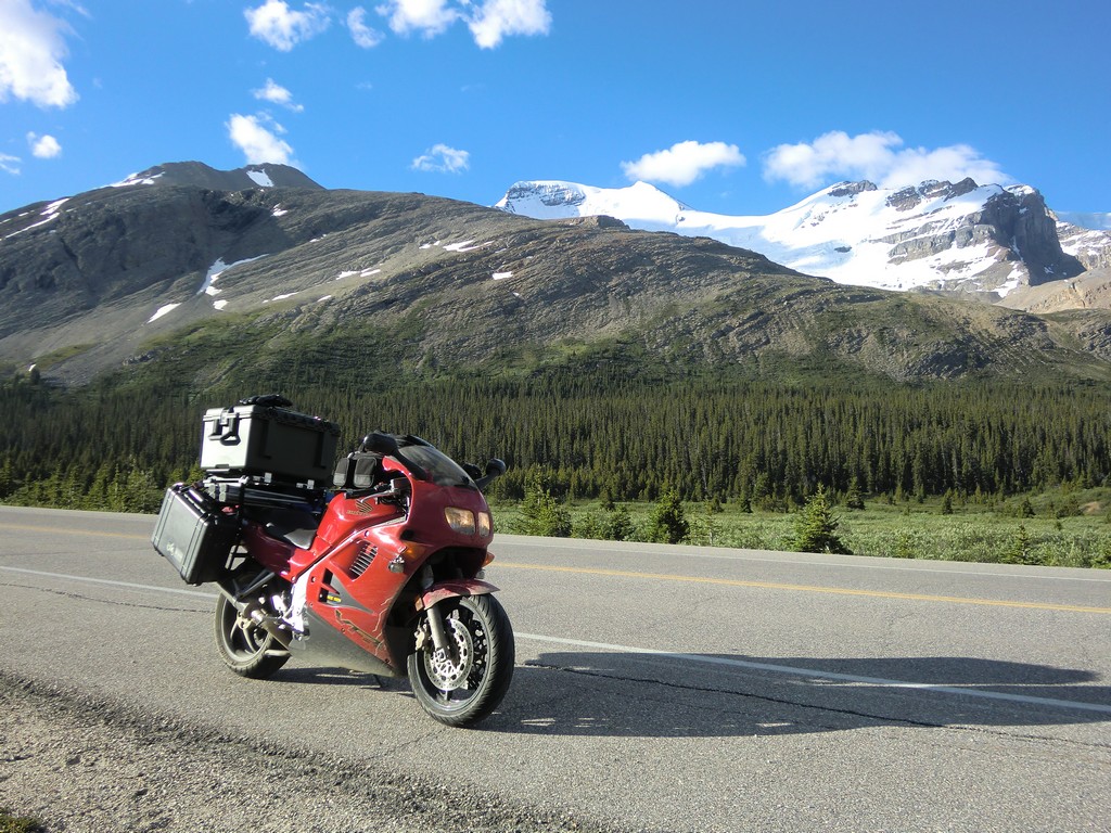
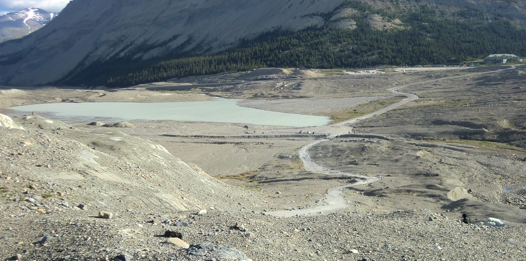
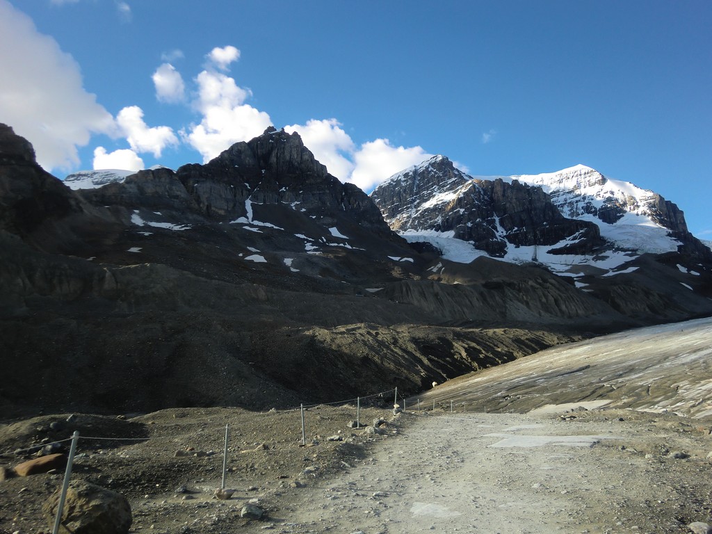
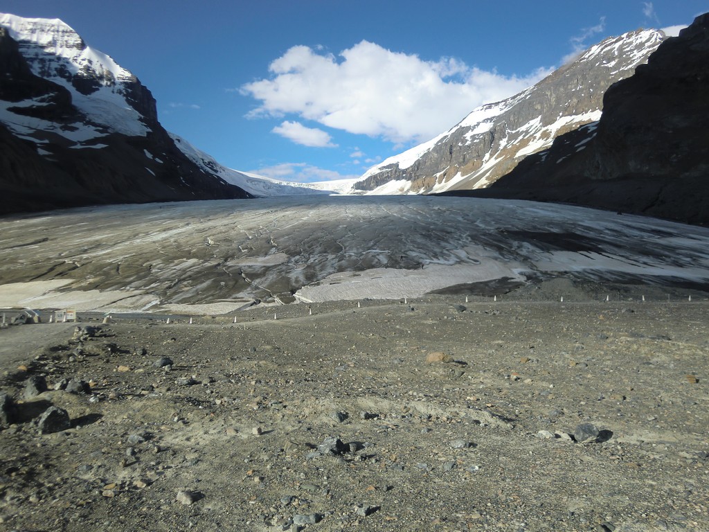
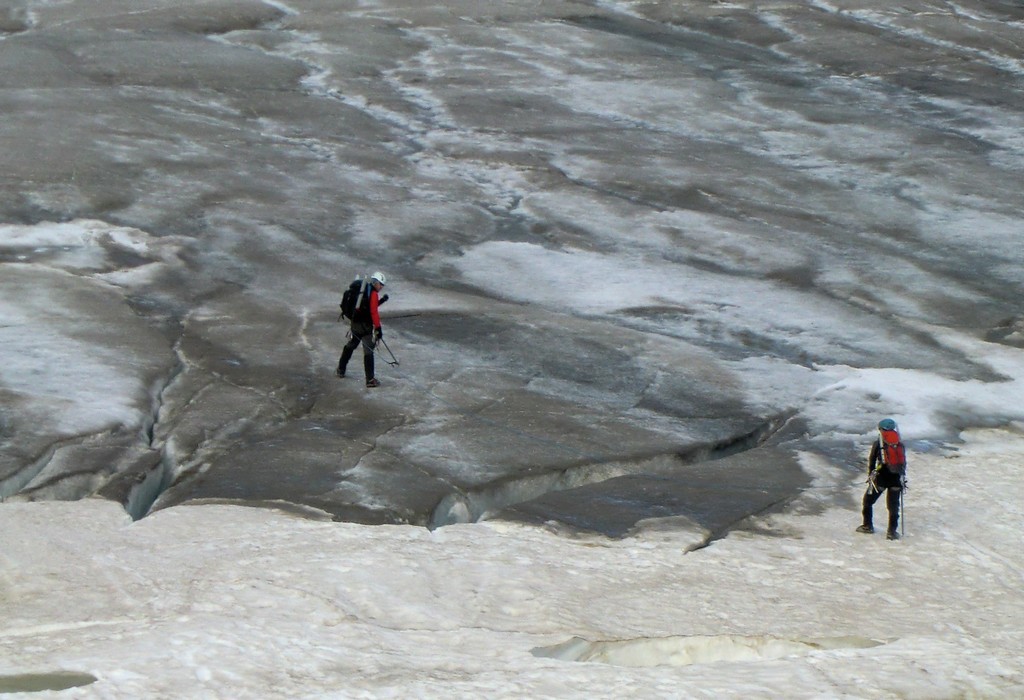
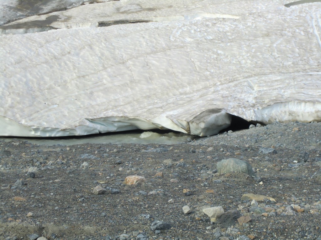
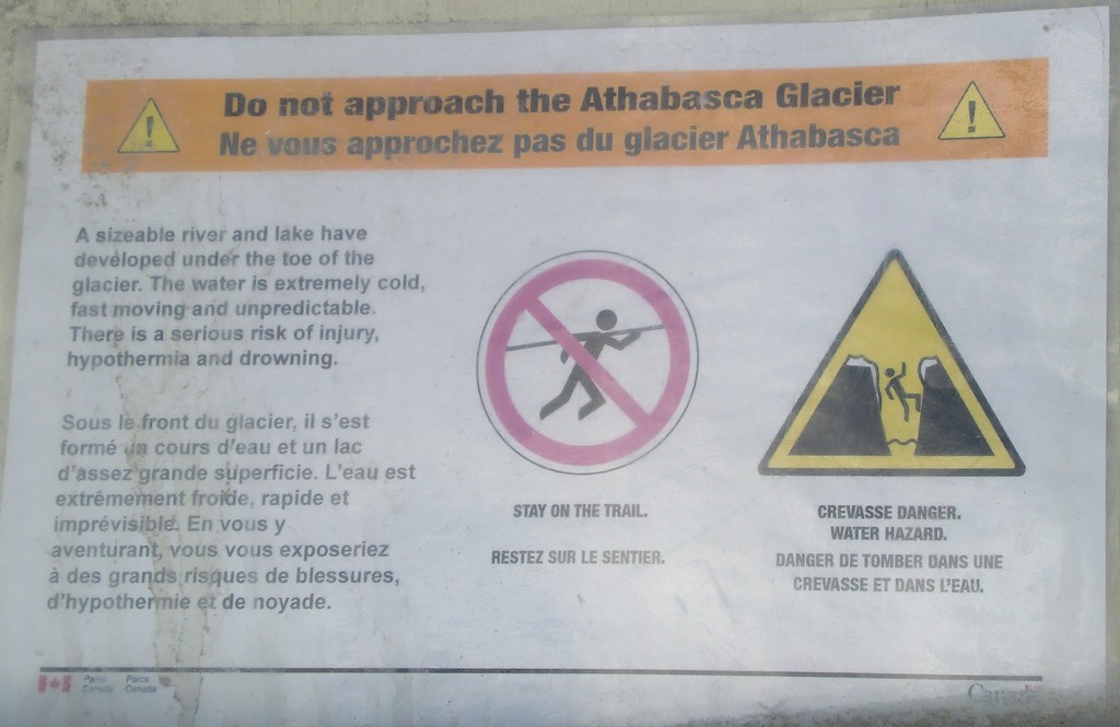
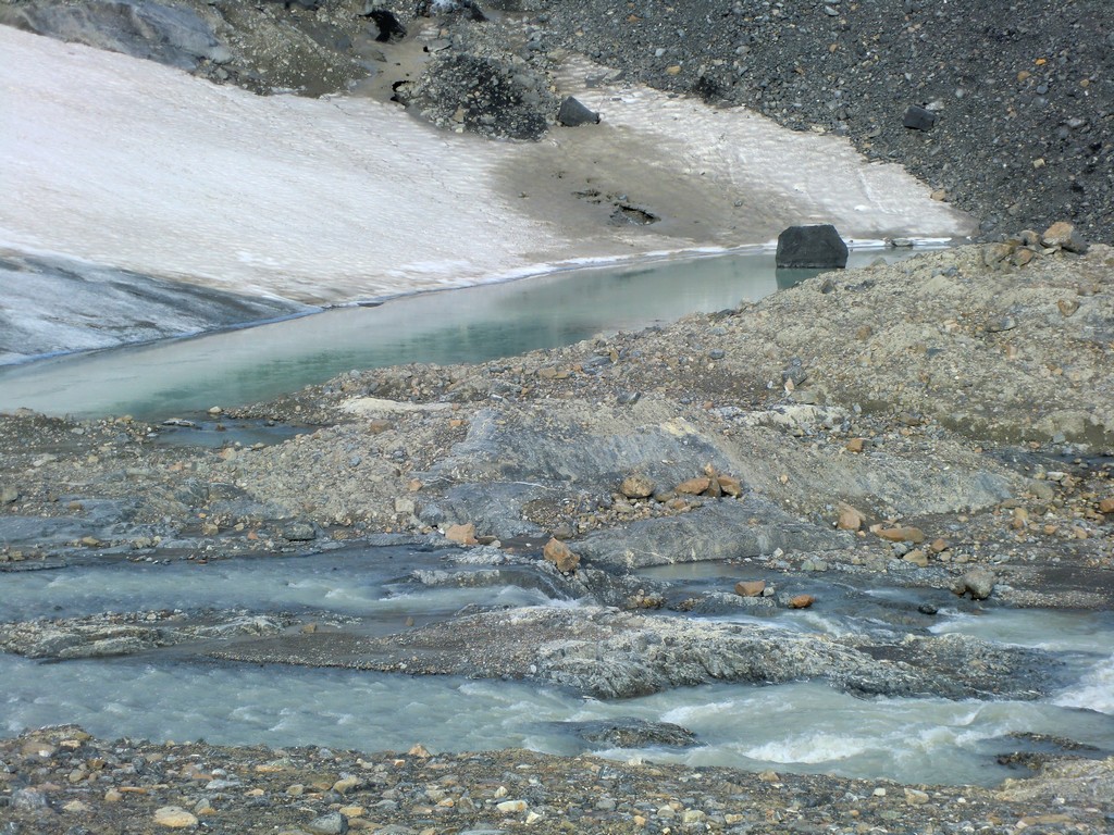
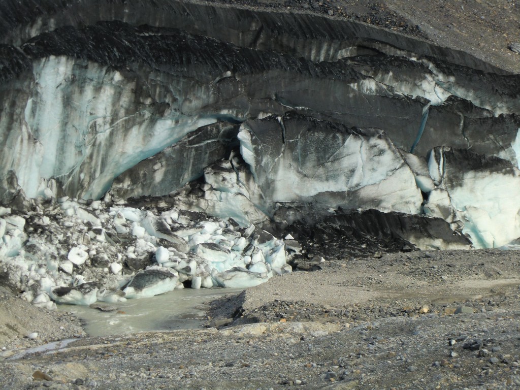
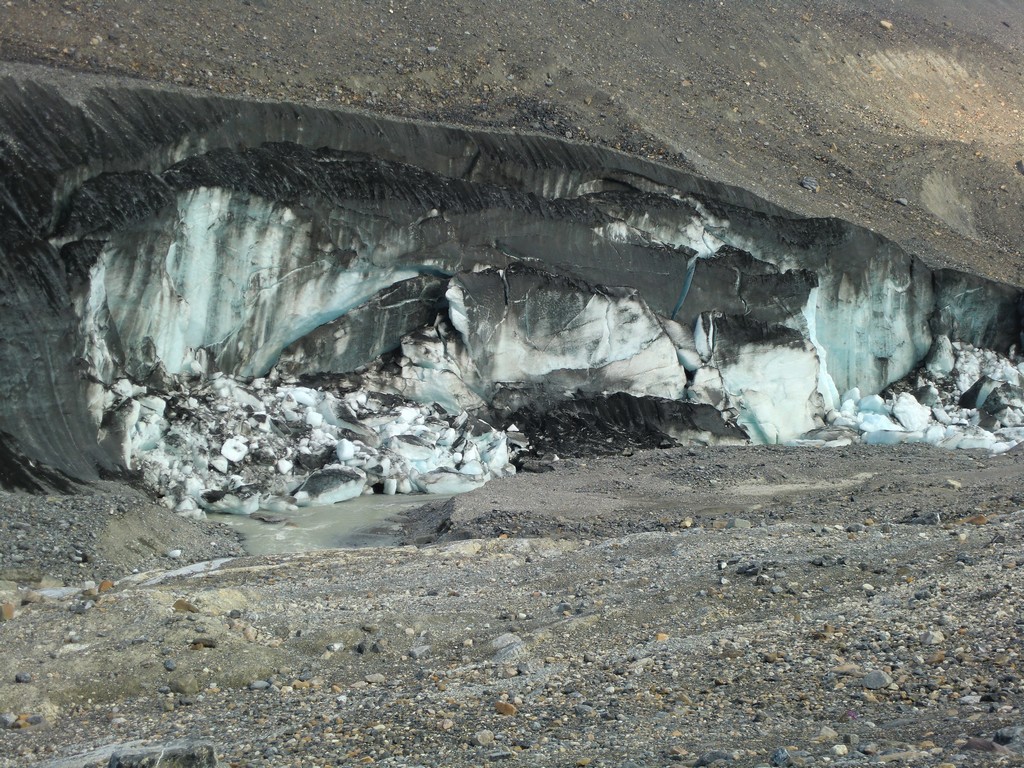
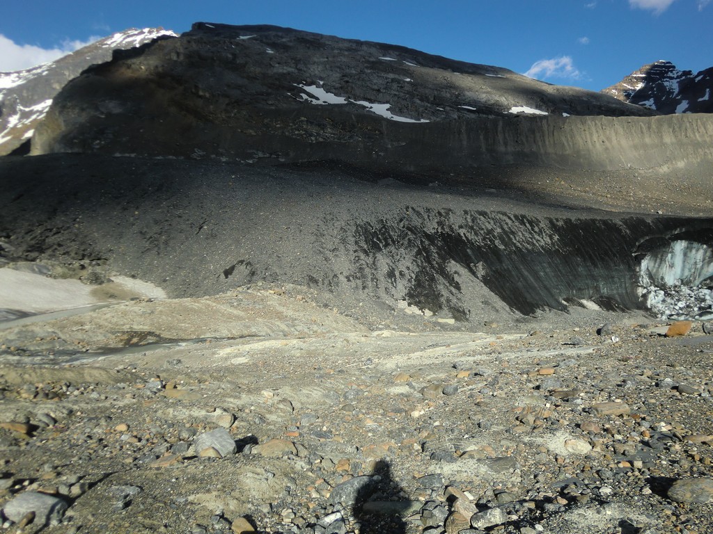
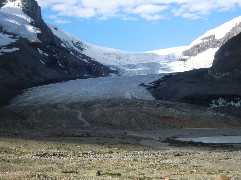
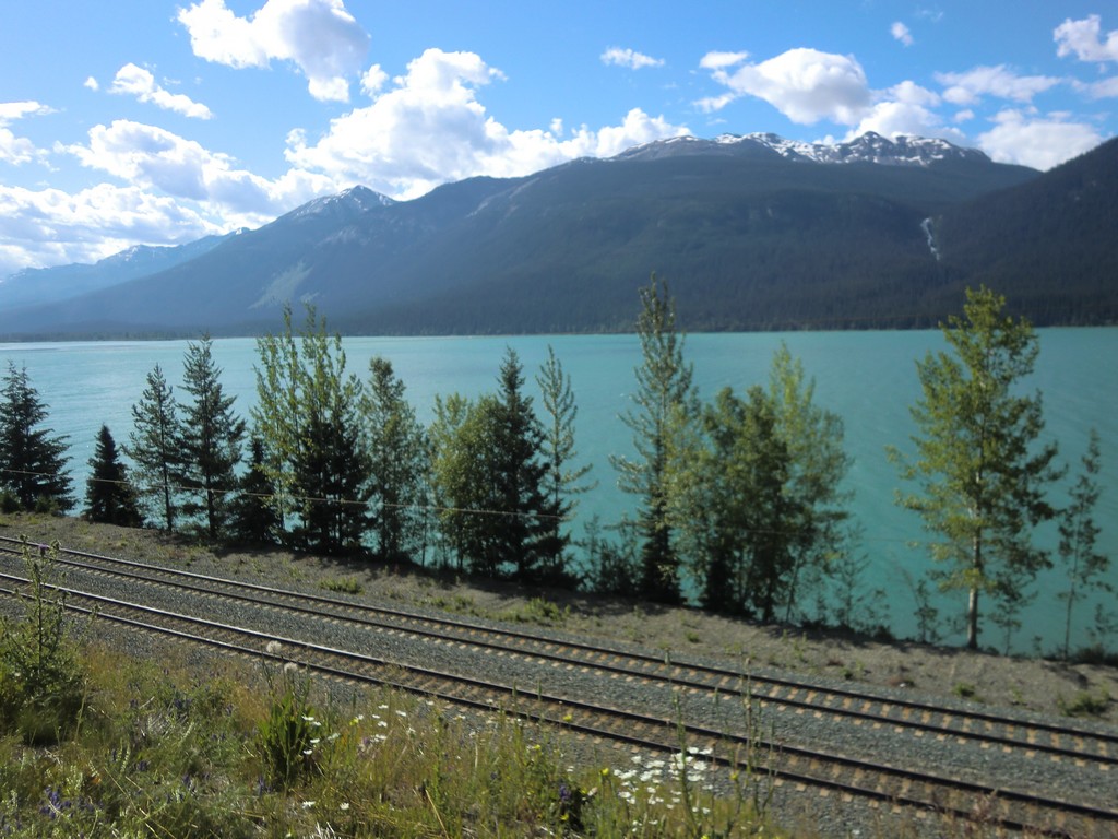
A little further down the road was a place to look at the Athabasca Glacier. I parked and briefly hiked up for a closer look. A stream ran under the toe of the glacier, and a warning was posted not to walk on the glacier due to crevasses and risk of the toe breaking off. There were a couple people with ice gear moving up the glacier.
 |
 |
 |
 |
 |
 |
 |
 |
 |
 |
 |
 |
 |
 |
 |
 |
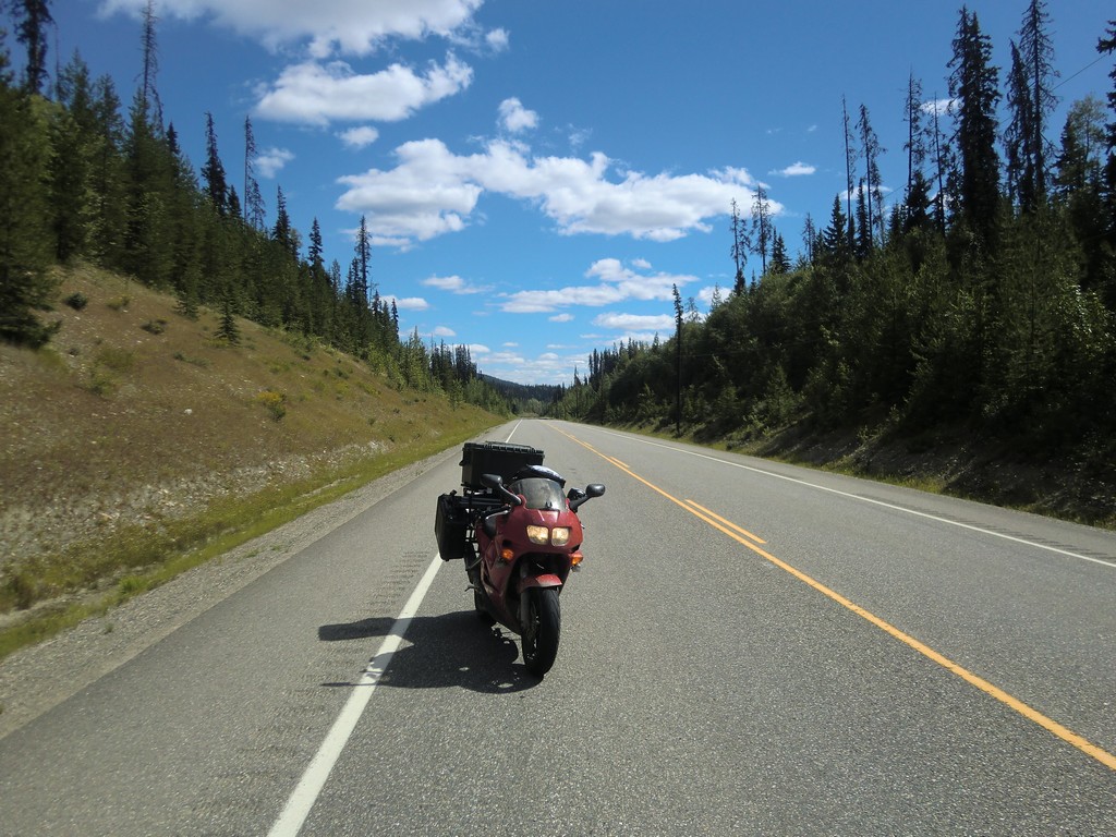
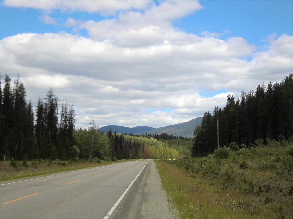
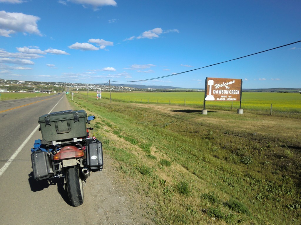
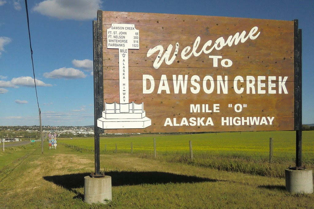
I continued on to Jasper, then west back to British Columbia and northwest up to Prince George. From there, I took highway 97 north and east over to Dawson Creek, to the start of the Alaska Highway.
 |
 |
 |
 |
 |
 |
 |
 |
 |
 |
 |
 |
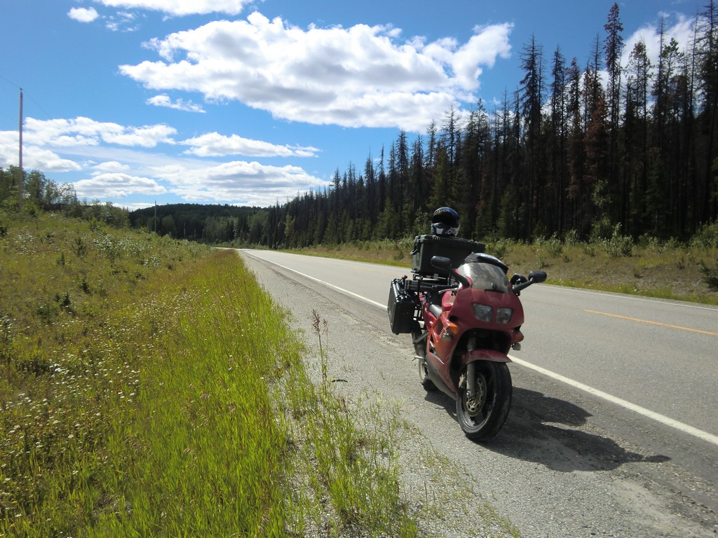
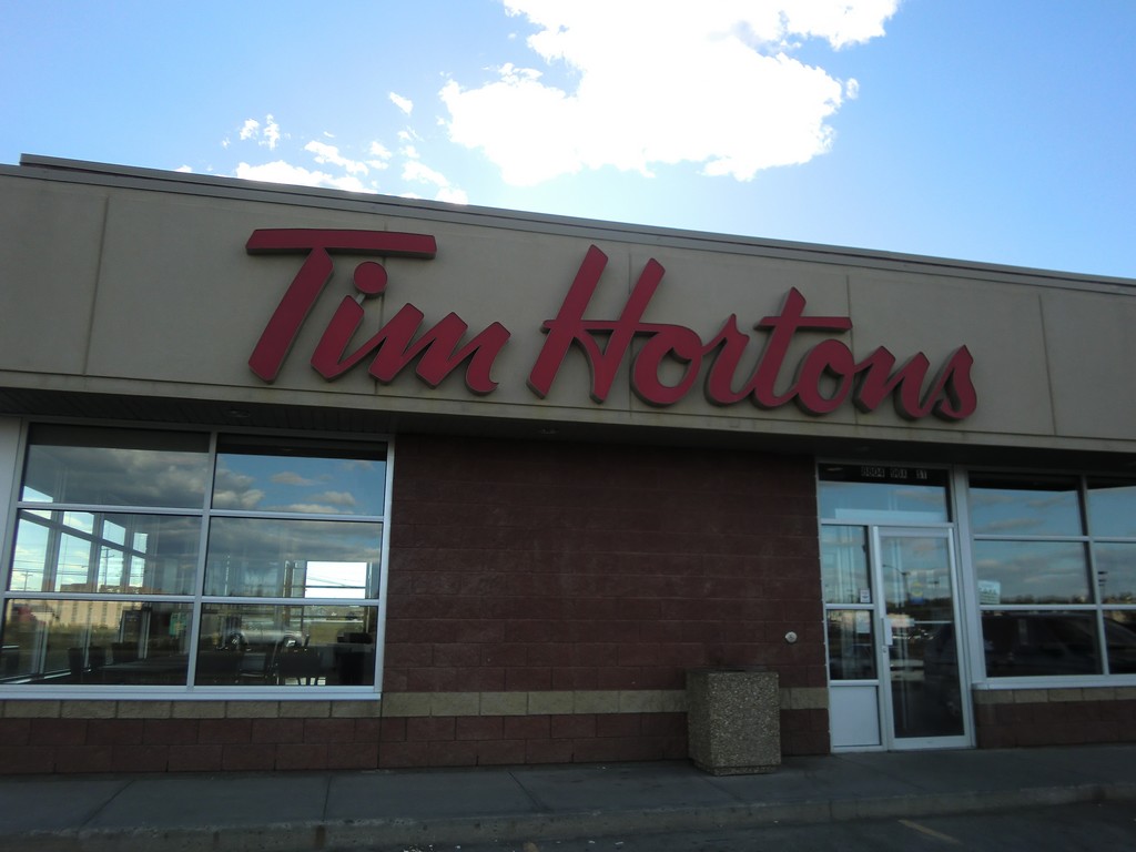
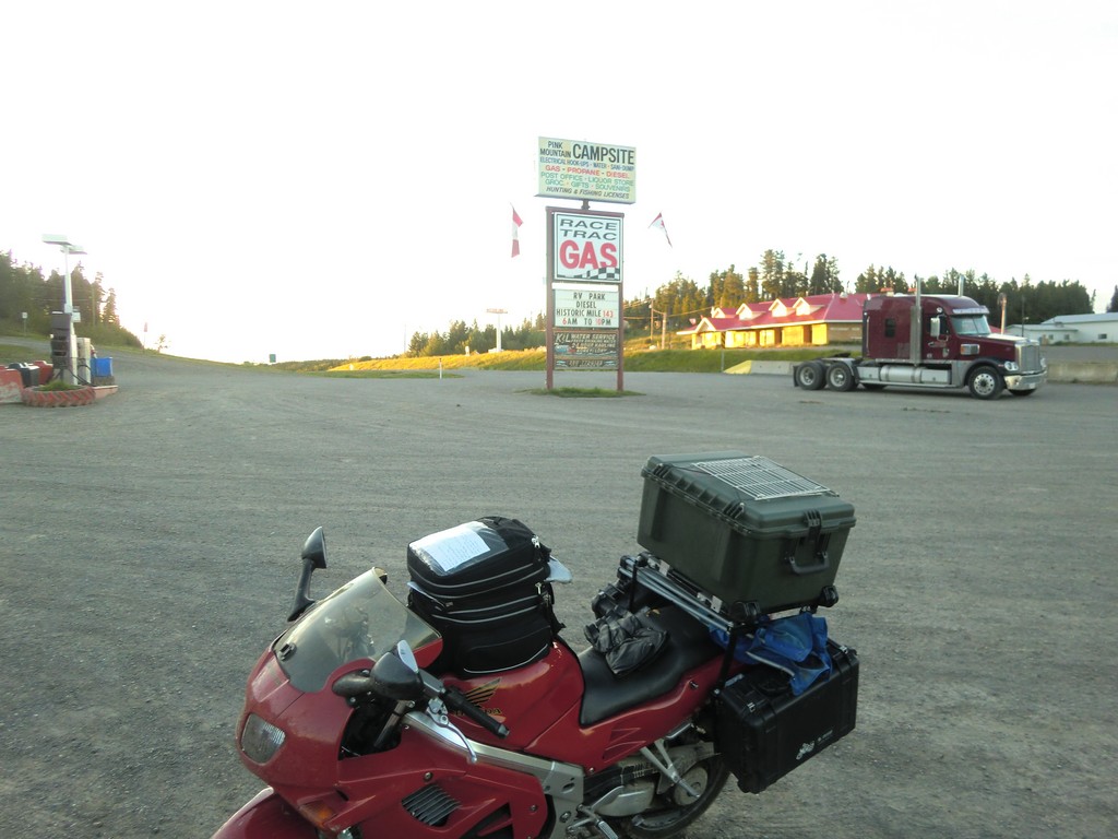
After a bite to eat at Tim Horton's (mandatory in Canada), I got back on the Alaska Highway and started the long road to Alaska. The roads were very wide and fairly straight. As it got dark, I started looking for a place to camp, but I was having trouble finding a suitable location. I started looking around at empty fields at the edge of Fort Nelson, BC, when a cop pulled up to see what I was up to. I told him I was looking for a campsite for the night, and he recommended an intersection with highway 77 a few miles down the road. I tried to find it, but it seemed like a pretty poor spot. It was pretty late though, so I decided to go for it and rode the bike into the ditch and set up camp there. It was a little steeper than I realized though, and was rather difficult to ride out of it the next morning.
 |
 |
 |
| Tim Horton's in Dawson Creek, BC | Gas station in Pink Mountain, BC | Night driving |
| Prev | Index | Next |
Copyright (c) 2010 Paul Miner <$firstname.$lastname@gmail.com>