| Prev | Index | Next |
July 25, 2010
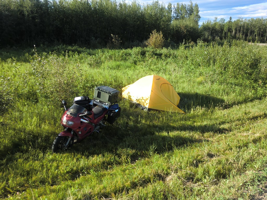
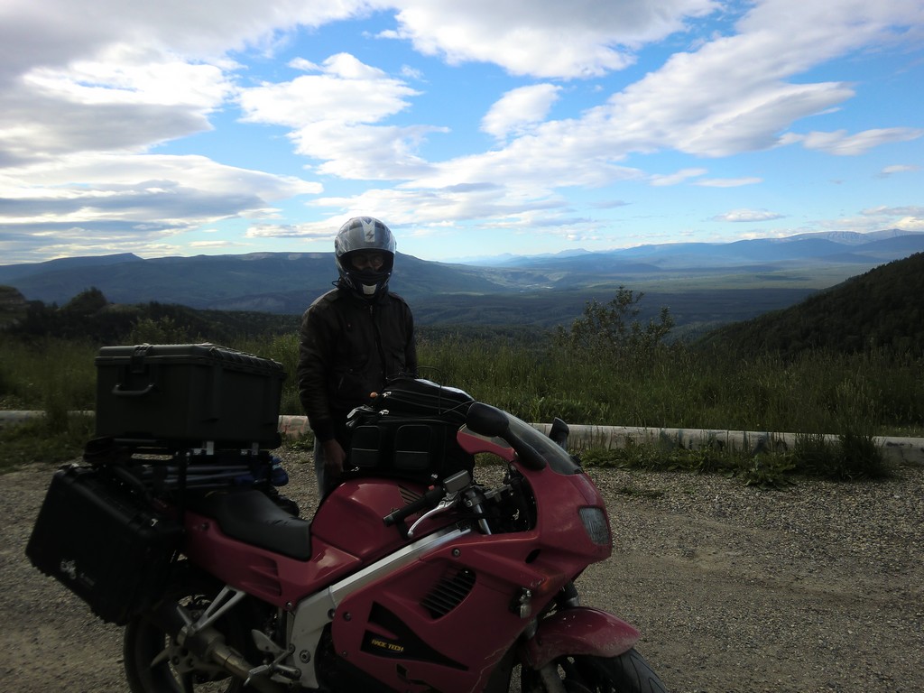
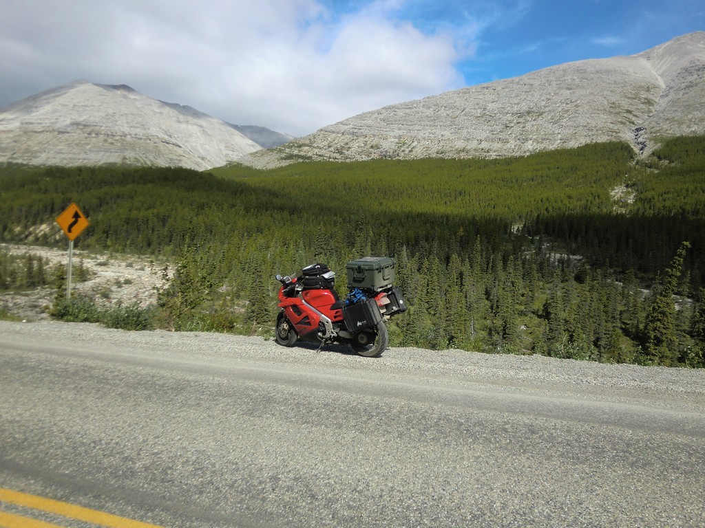
I woke up late to the sounds of trucks rolling by on 77. After packing up, it took some time to ride the bike out of the ditch. Where I had camped, the ground was too soft and my ground clearance insufficient to get out. Instead, I rode the bike down the ditch back to highway 97 where it was shallower, then resumed heading west.
|
|
|
|
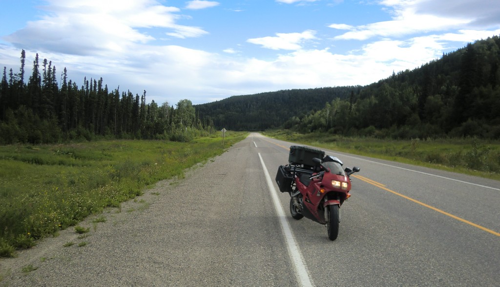
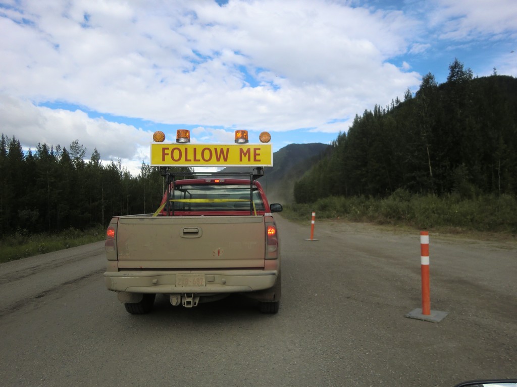
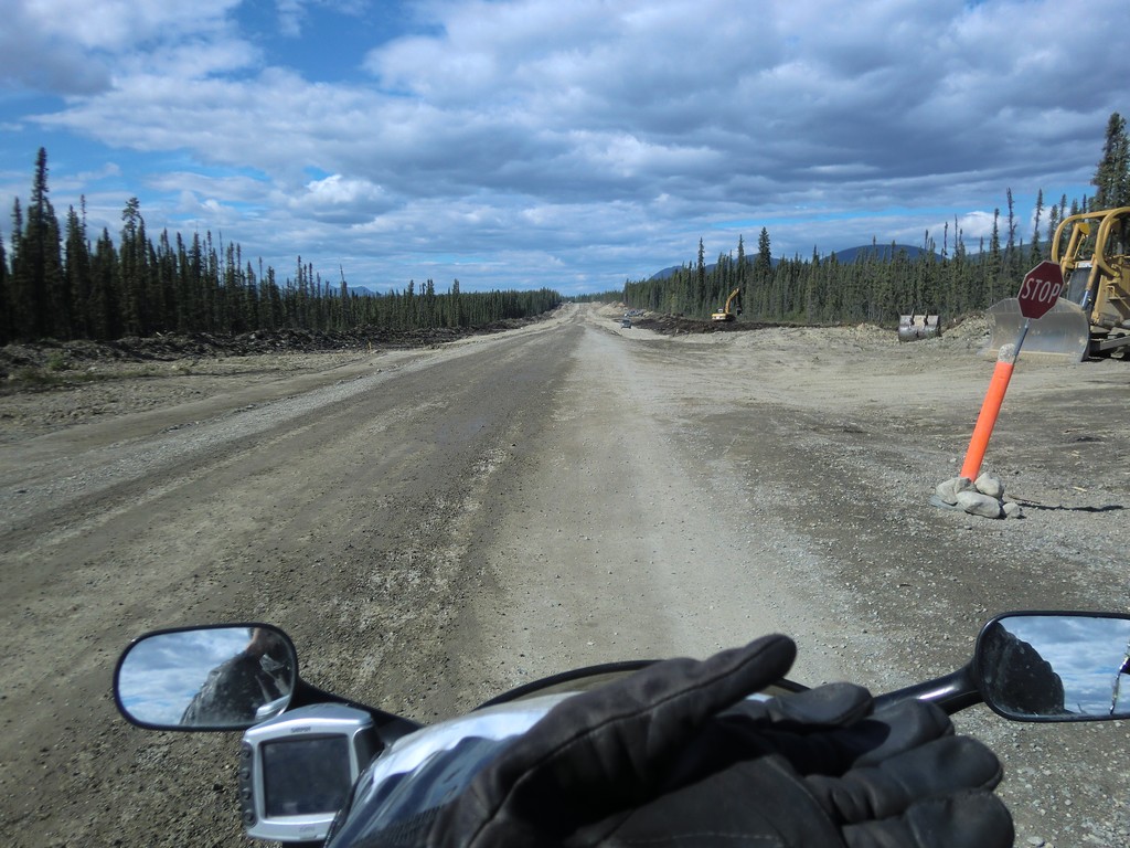
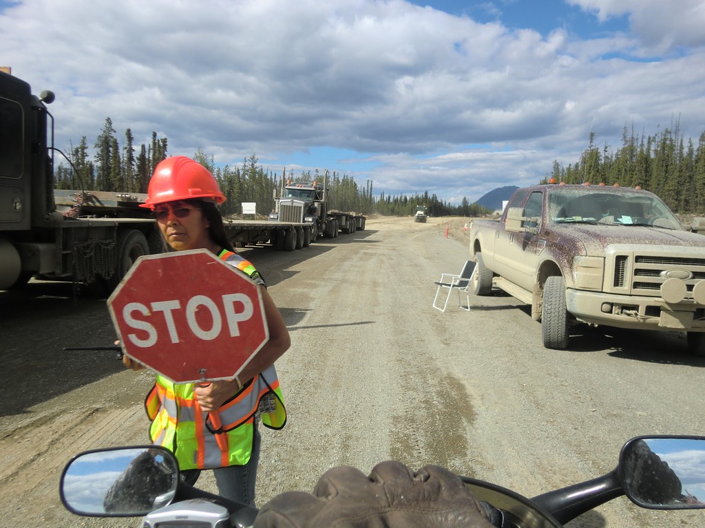
Road construction started cropping up, and patches of road would suddenly be covered in a layer of gravel, sometimes in a corner. Sections actively under construction would have pilot trucks to escort traffic through them.
 |
 |
 |
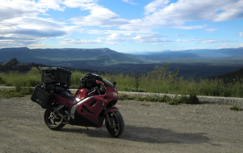
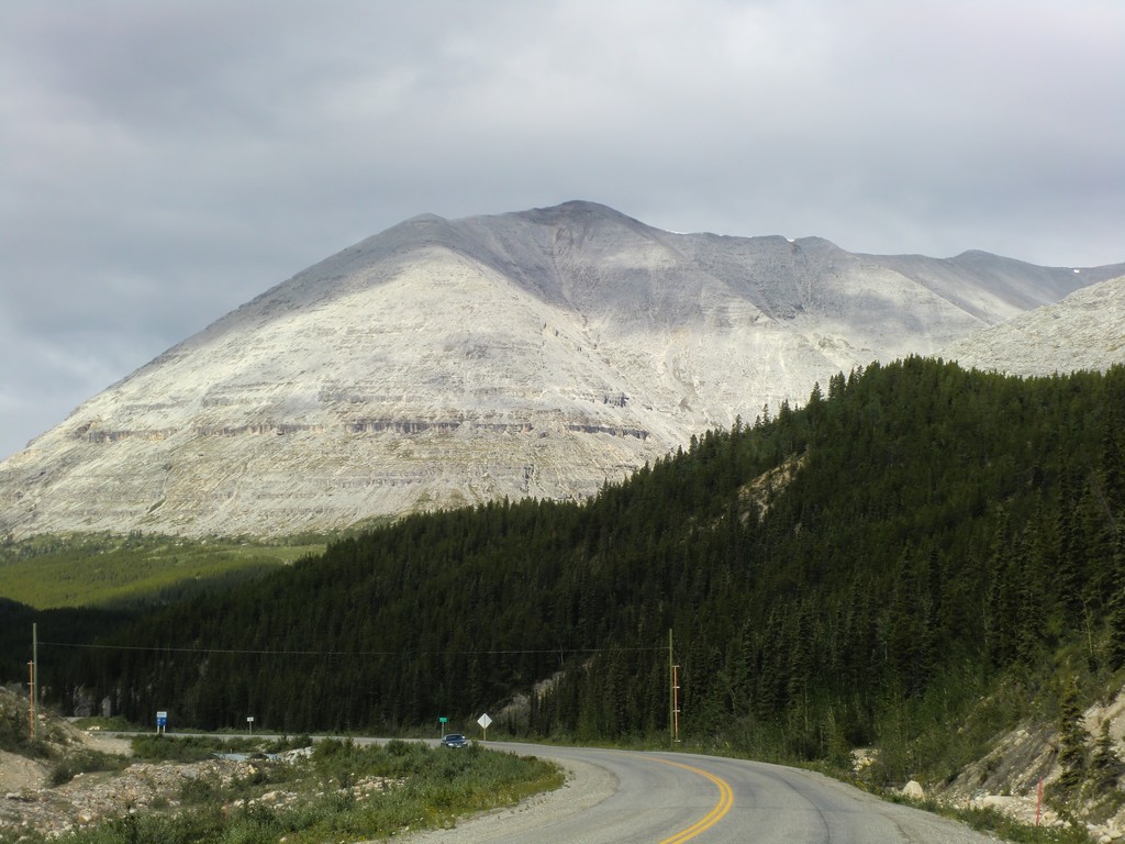
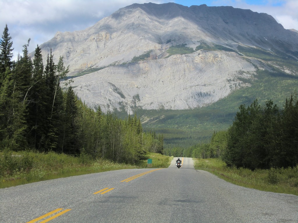
Next I passed through Stone Mountain Provincial Park. There are some unusual looking mountains there.
 |
 |
 |
 |
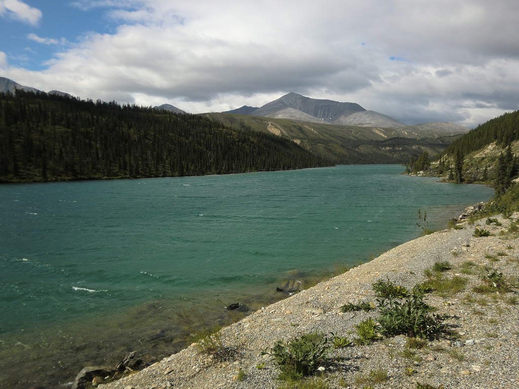
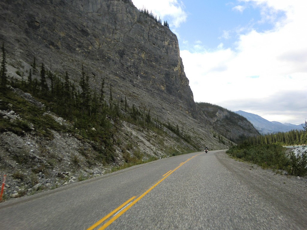
Continuing west, I passed Muncho Lake and entered the Yukon.
 |
 |
 |
 |
 |
 |
 |
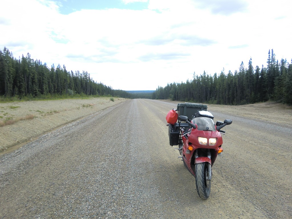
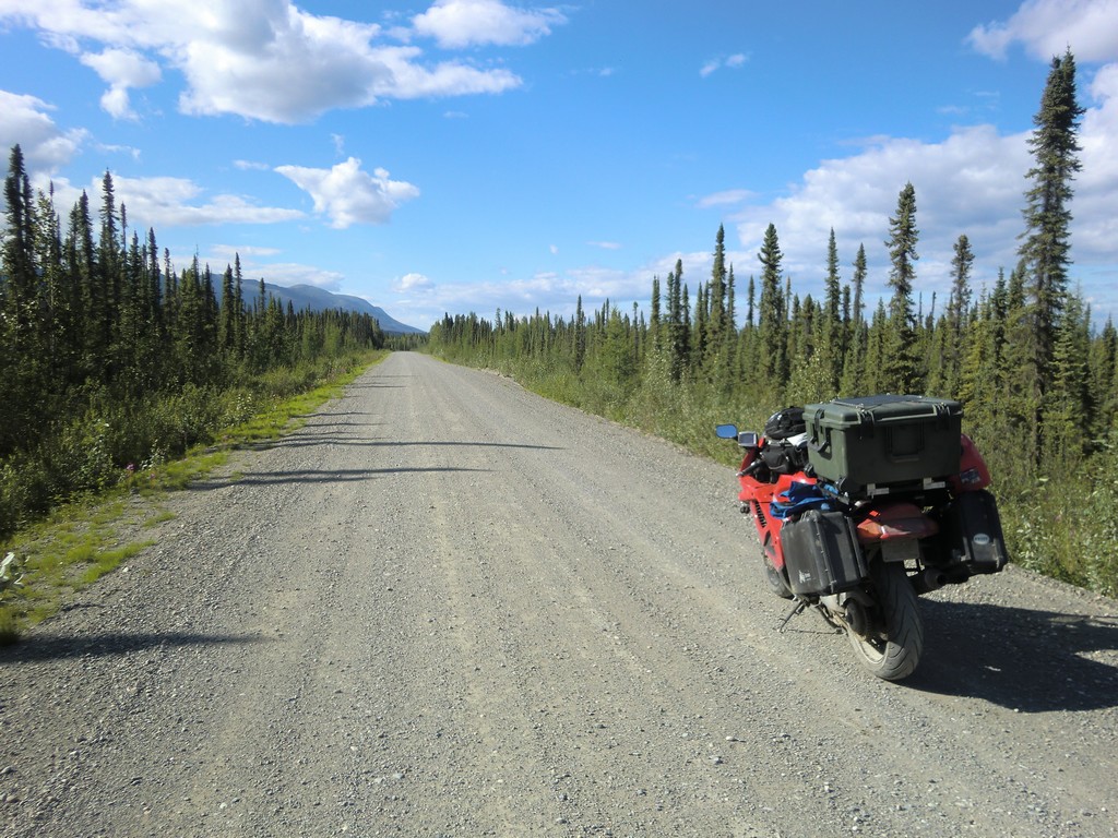
Highway 97 crosses back into BC one last time before entering the Yukon for good. I planned on taking the northern route into Alaska via the Top of the World Highway, so at Watson Lake I took highway 4 (Campbell Highway) north. The highway was under construction in many places, but I figured no big deal. As it turned out, it got much rougher than I anticipated, and was quite desolate. On one early section of highway 4, I got pulled into some deep ruts in soft dirt. The bike see-sawed in the rut, then the front wheel made the jump to an adjacent rut and I went down. It was soft dirt, so there wasn't any damage, but it was difficult to get the bike upright. I had to detach the cases to lighten it enough to pick it back up.
 |
 |
 |
 |
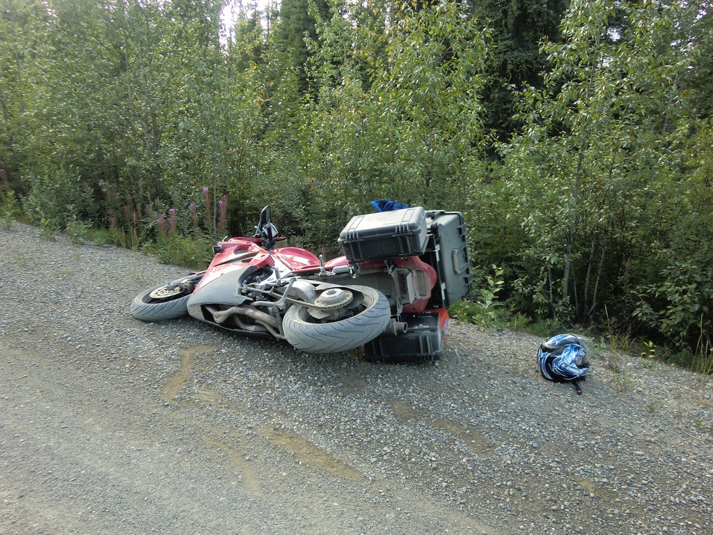
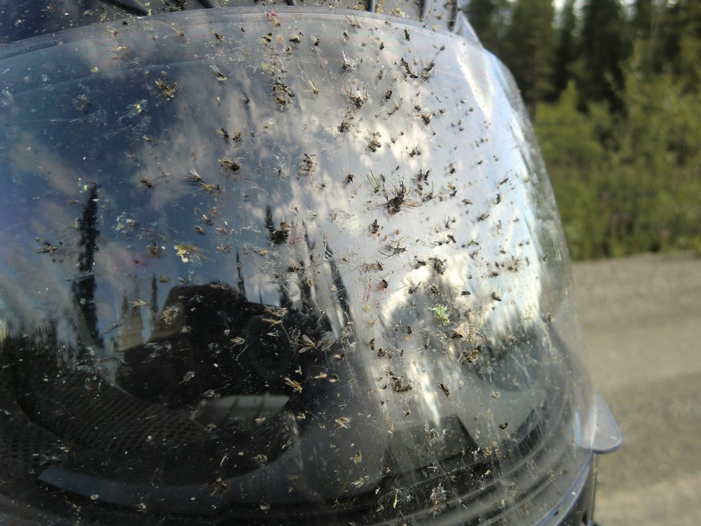
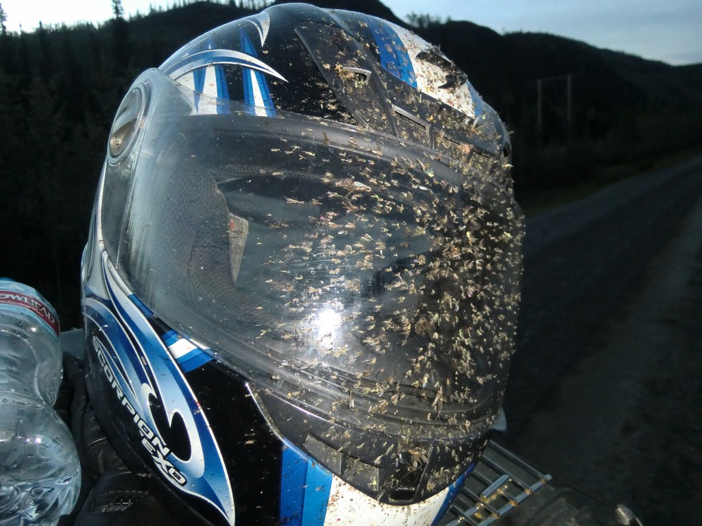
There was almost nothing on the highway, just an occasional unmarked trail leading off. The road was very rough, full of big potholes. As the sun went down, the bugs started piling up on my visor so I pulled over to clean it off. As I slowed to a stop, I leaned right, then found that I couldn't turn the bars left to straighten out. Unable to hold the bike up, I dropped it on the side of the road. After picking the bike back up, I noticed that the GPS mount had slowly vibrated down enough to interfere with my handlebars, so I couldn't turn the bars left very far.
 |
 |
 |
 |
 |
 |
 |
 |
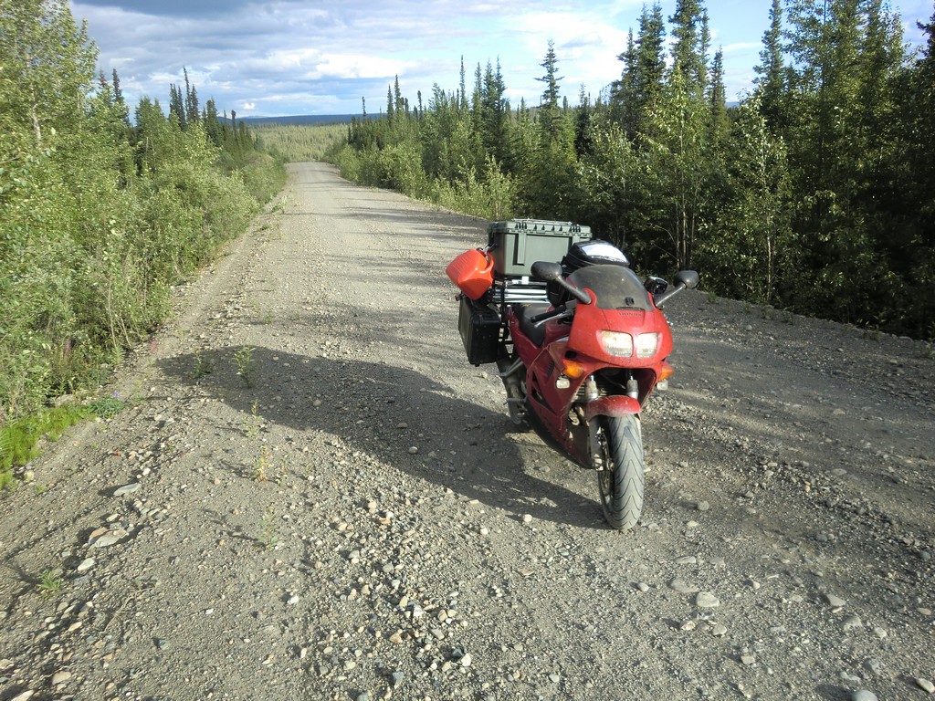
Most of the time it was dirt and gravel; there were occasional stretches of smooth new pavement, but they never lasted very long. Around 9pm I reached Ross River and filled my almost empty tank. Fortunately the slow speeds had increased my fuel efficiency, because I had put around 230 miles on that tank. It was still light out, so I continued on.
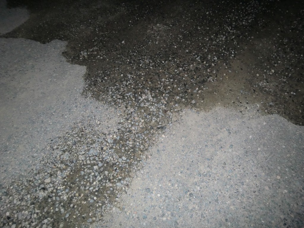
Later that night, I saw another one of the transitions from pavement to gravel and slowed to 40-50 mph, but it wasn't just gravel. It was actually an unfinished section of highway, with rows of much deeper gravel. The bike started to slide around as I tried to ease out of the gravel onto the packed dirt between the deep rows of gravel and slow down. I made it, but it definitely scared me.
But the worst was yet to come: miles of unfinished road that was covered in deep loose gravel. With all the weight I had on the bike, it wanted to sink into the gravel and track all over. Often I could barely even get moving in first gear, and I came close to dropping the bike numerous times. The sun sets much later this far north, but it was late enough that the sun was down and it was very dark. I kept wondering whether I should stop for the night, but it was tough going and I wanted to just get it done. I resolved to putt along all night at a snail's pace if I had to.
Finally the deep gravel transitioned back to the old packed dirt and gravel, and I was able to pick up the pace. As I neared the end of the highway, it finally turned back to pavement. About 9-10 hours after I started, I exited the Campbell Highway onto highway 2 just outside of Carmacks, YT. It was early morning by this time, so I passed through the town and found a small empty area just off the highway and set up camp.
 |
 |
 |
 |
| Prev | Index | Next |
Copyright (c) 2010 Paul Miner <$firstname.$lastname@gmail.com>