| Prev | Index | Next |
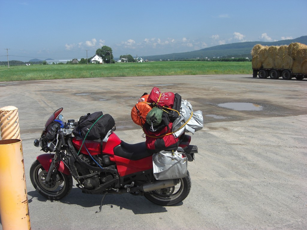
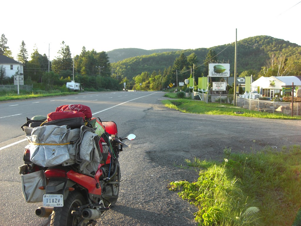
After leaving Cabot Trail, I continued back towards New Brunswick, with the intent of following the coast of Quebec. I made it to Miramichi, NB and found a campsite before dark with time to spare. As I was setting up, I noticed that the GPS didn't give me it's usual warning about running on battery when I removed it from the mount on the bike. After playing around with it, I found that it didn't seem to acknowledge being put on the mount and wouldn't charge. After checking that the mount had power going to it, I figured something was wrong with the mount. Unfortunately, this meant I had no way of recharging the GPS, so I needed to leave the GPS off most of the time unless I needed to check the map, so my miles weren't being logged by the GPS anymore. Now I had no odometer or speedometer.
That night I looked at the route remaining, and realized there wasn't enough time to ride the coast of Quebec. I might be able to slab that distance in a reasonable amount of time, but as it was, I was going to be coming home late anyway. I decided to cut that part of the trip out and head for Mont-Joli, Quebec instead.
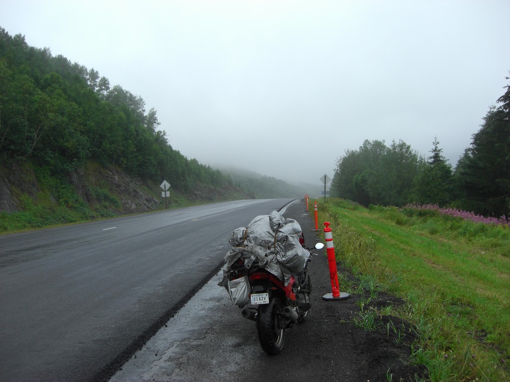
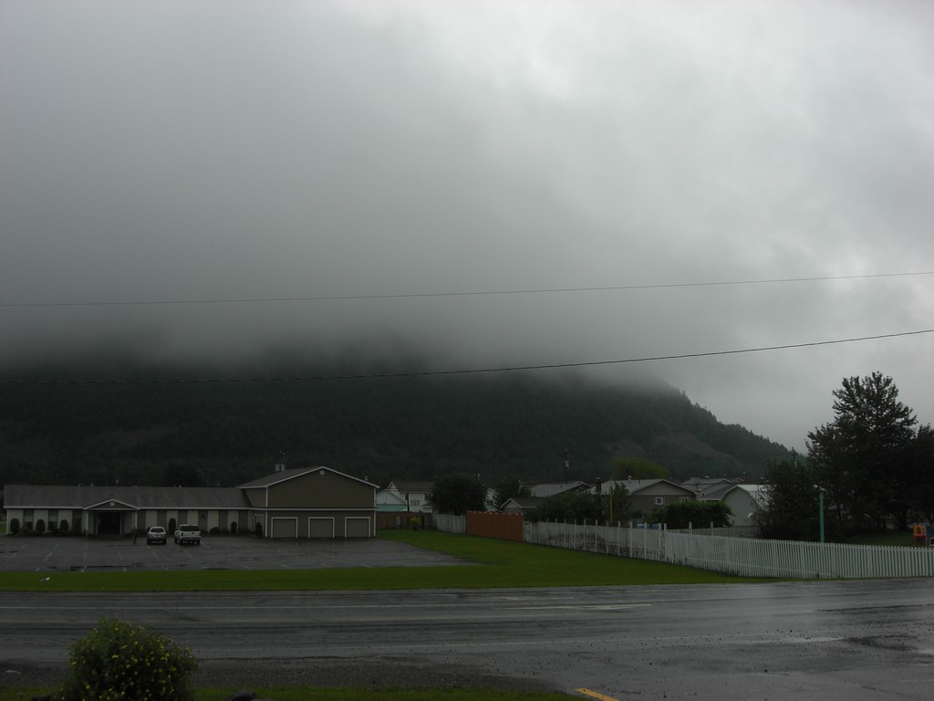
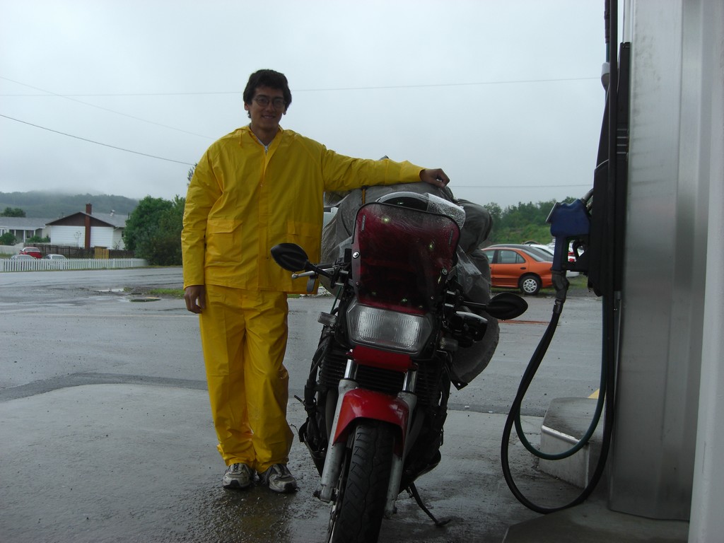
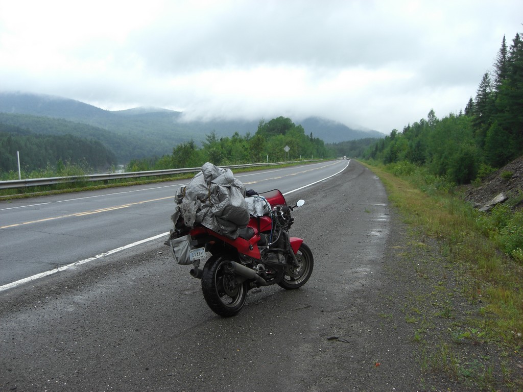
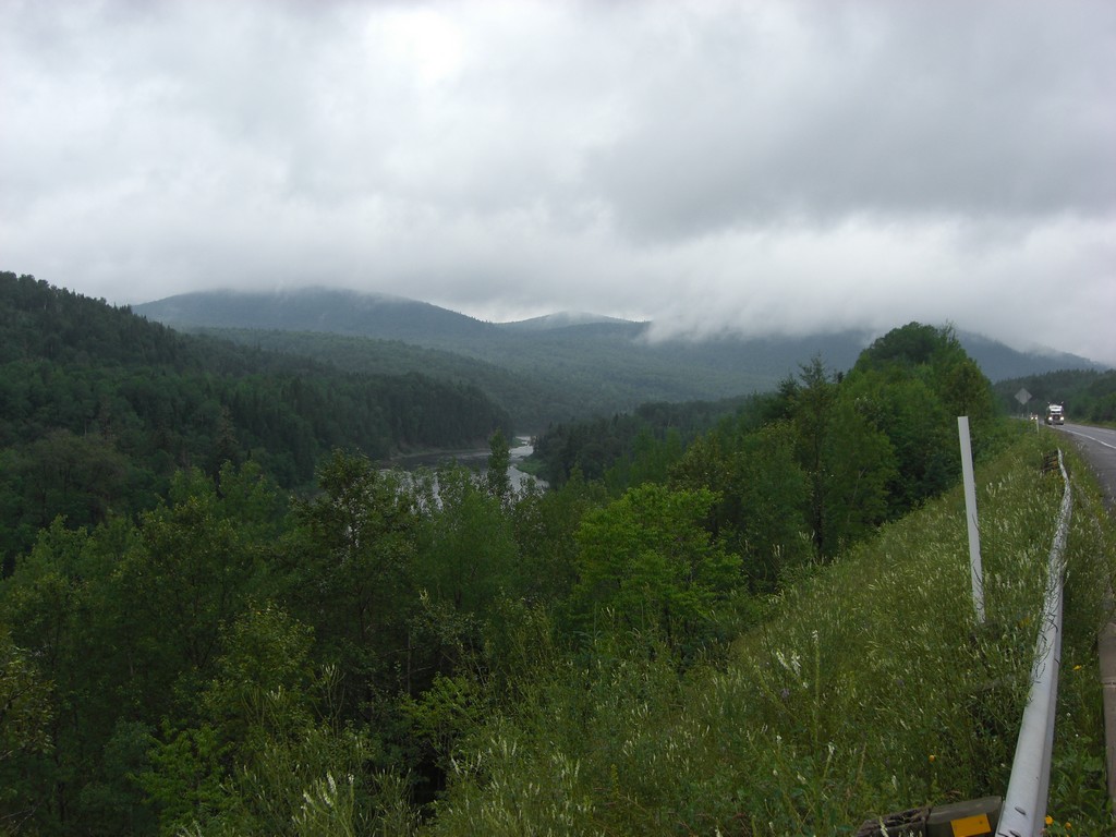
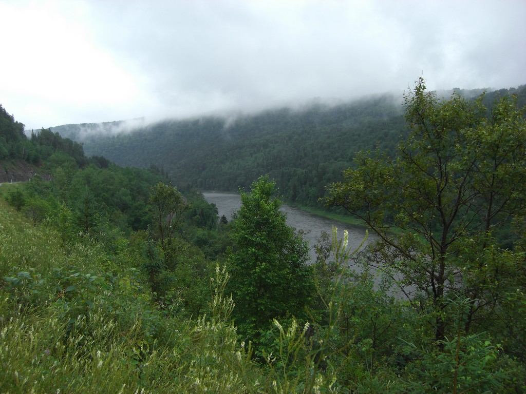
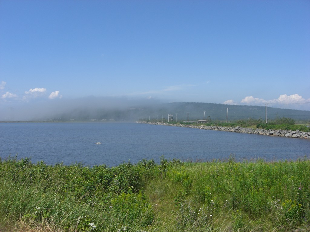
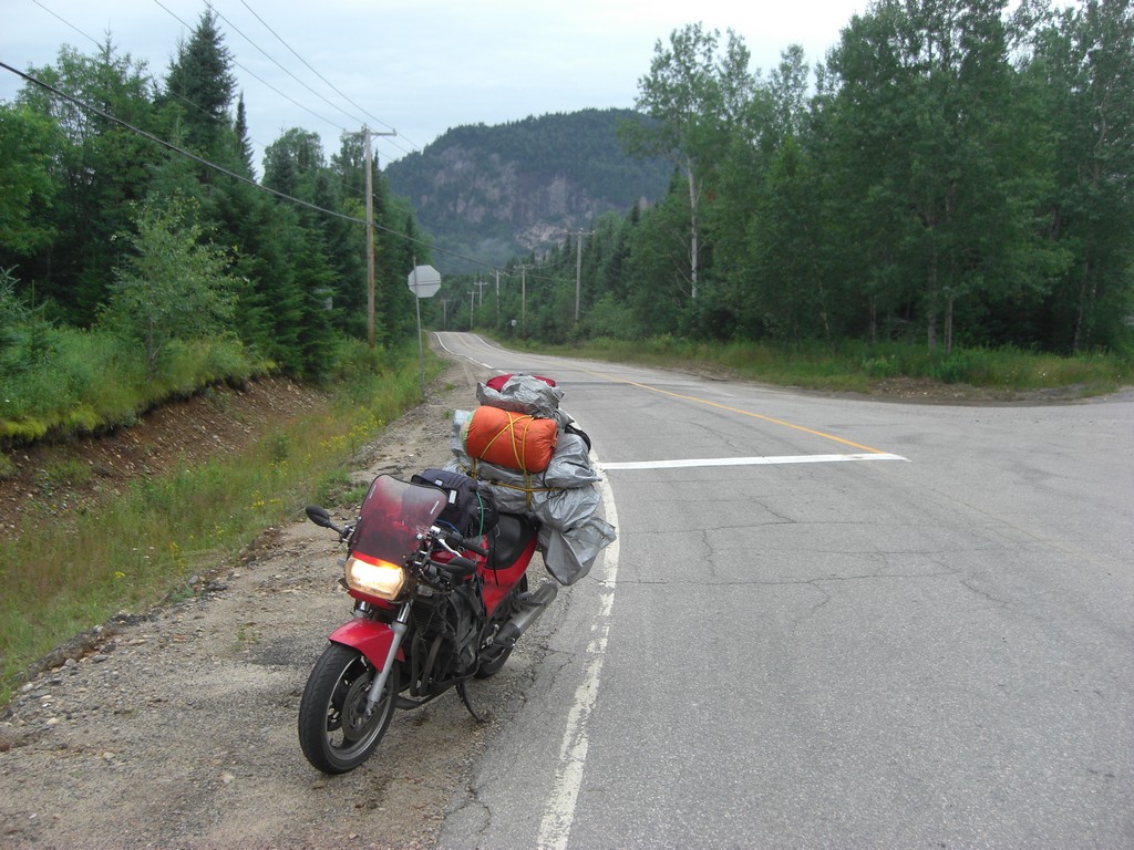
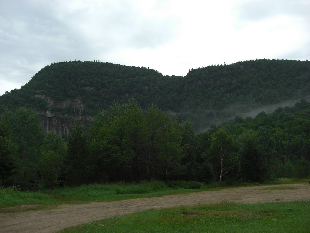
Thursday morning I packed up and started north toward Mont-Joli. It was foggy and rainy all morning, but there were still some nice views.
|
|
|
|
|
|
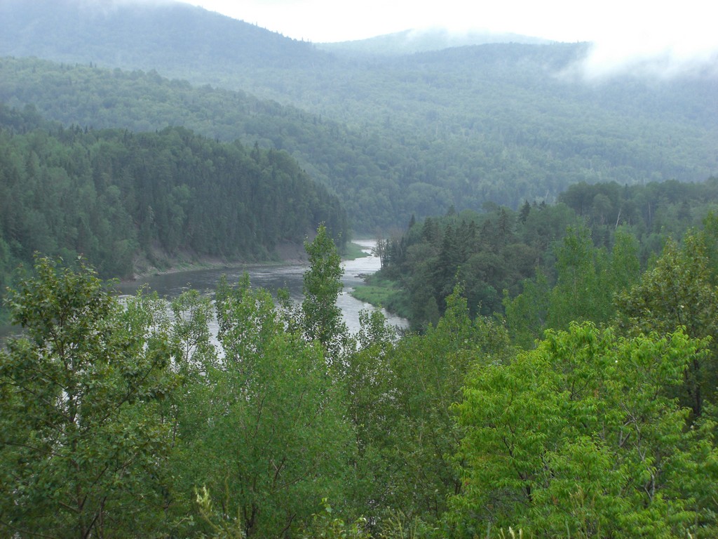
When I crossed into Quebec, there was an immediate change from English+French signs to French-only signs. It was a little strange at first, the first time during the trip I felt like I was really in a foreign country. The time also reverted back to Eastern instead of Atlantic.
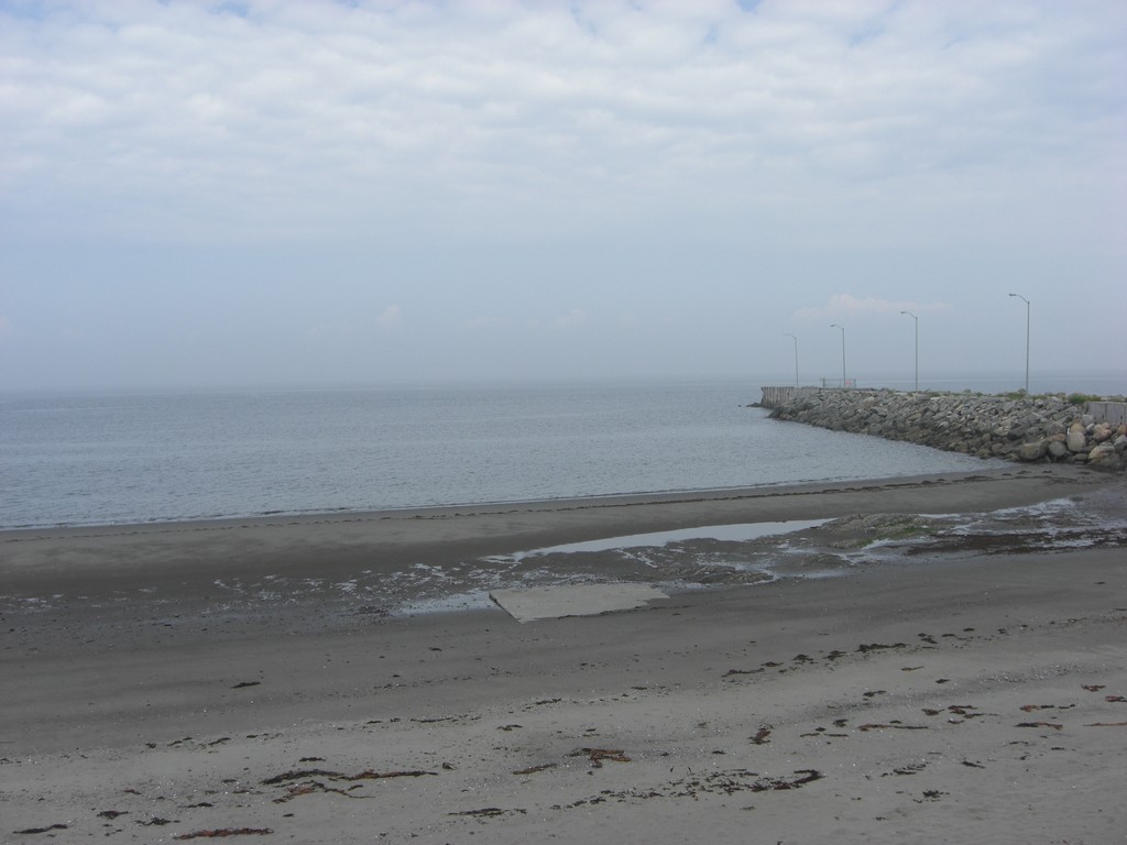
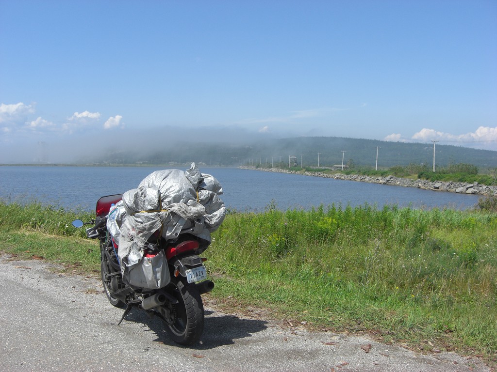
I made good time to Mont-Joli, and took a picture of the furthest north I've ever been.
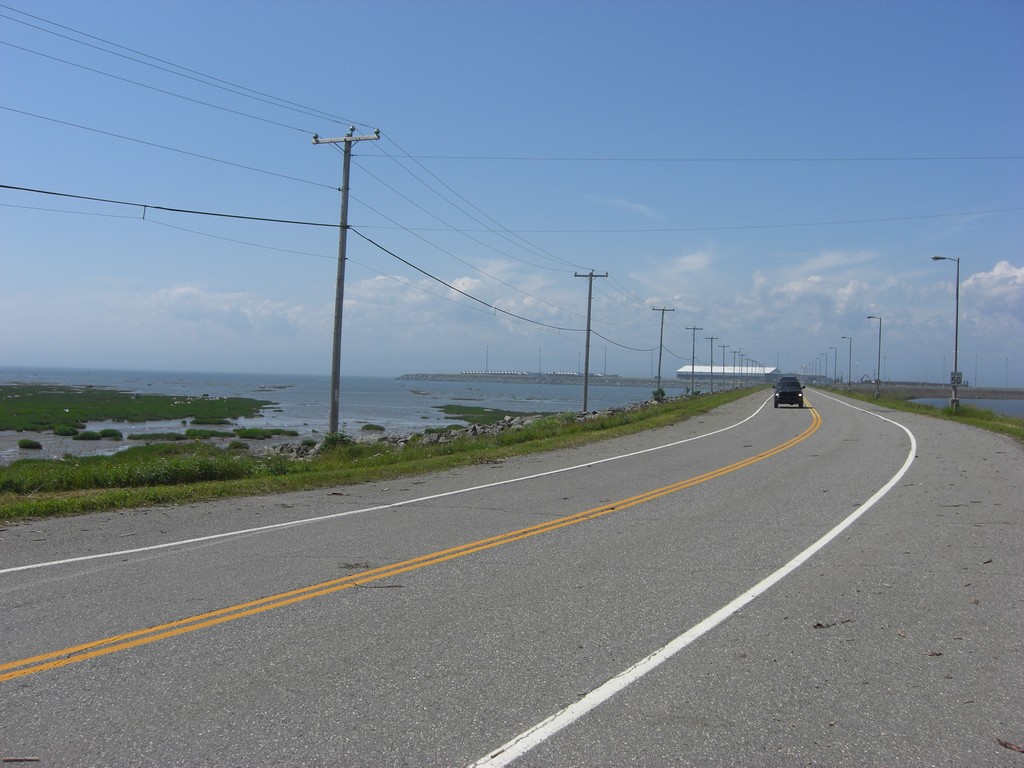
From there, I followed the coast on route 132, then highway 20. I stopped briefly in the city of Quebec to see if I could find a motorcycle shop that carried a speedometer cable, but no luck. I then slabbed to Montreal and made some more calls, but without result. I then headed north on 15 and 117 towards Mont-Tremblant, but stopped short to camp.
 |
 |
 |
 |
 |
 |
 |
 |
 |
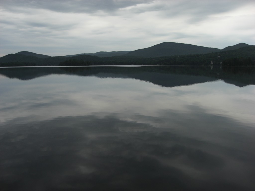
Friday morning I made my way to Mont-Tremblant and into the park ("Parc du Mont-Tremblant"). It was a nice ride up, culminating with a stop by Lac-Superieur, a calm mountain lake.
 |
 |
 |
From there, I went through the west side of Montreal and slabbed my way along the northern coast of Lake Ontario, around the west side and onto the QEW to reach Niagara Falls. I passed through Toronto during rush hour, likely aggravated by the upcoming Civic Holiday, so traffic was terrible. I did like the idea of having express and collector lanes, and I wish I could've snapped a picture of the highway entering Toronto. It was an awesome view of 12 or 16 lanes entering the city.
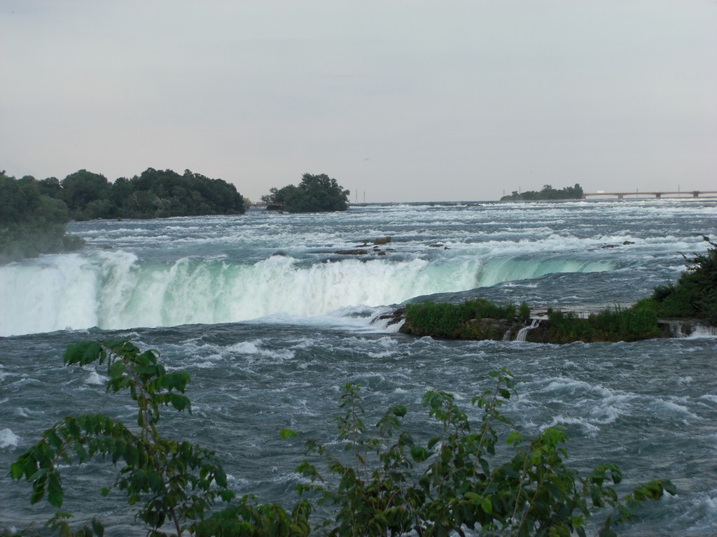
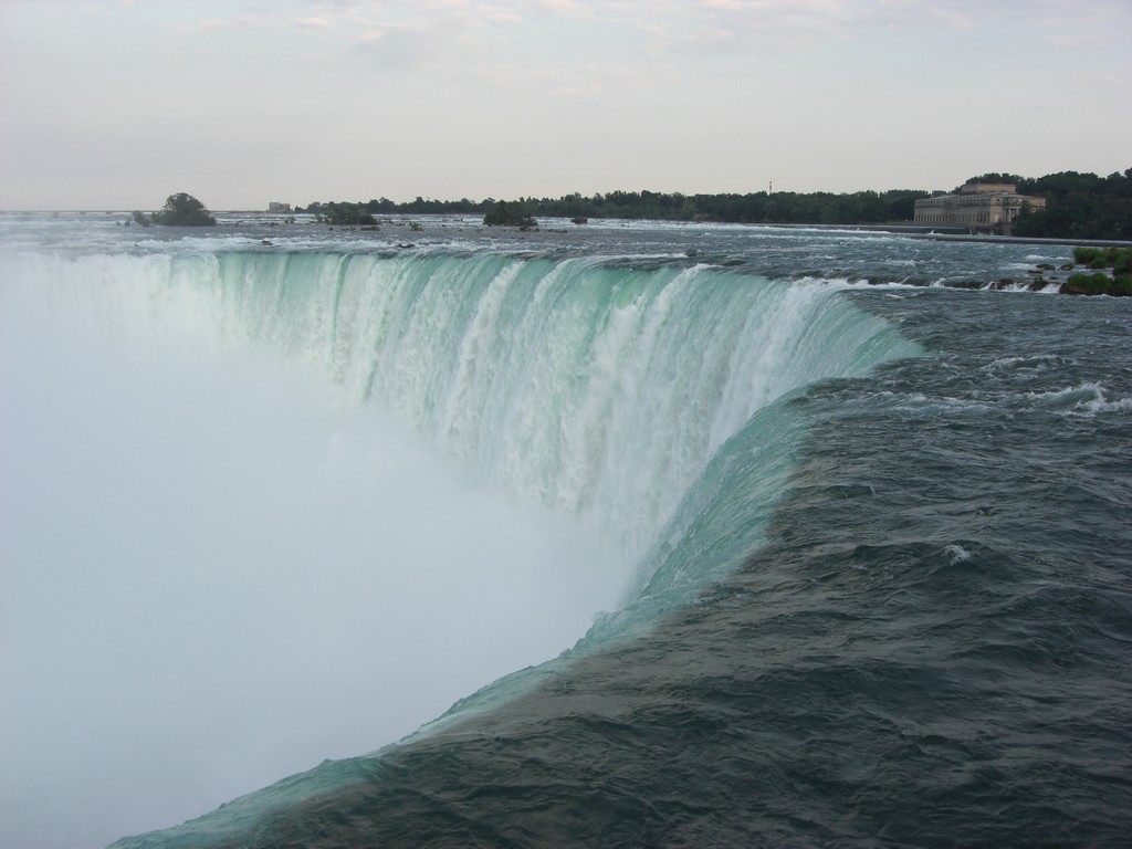
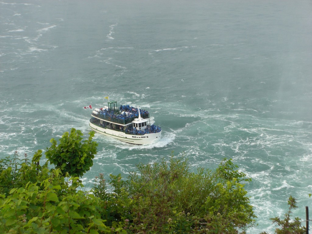
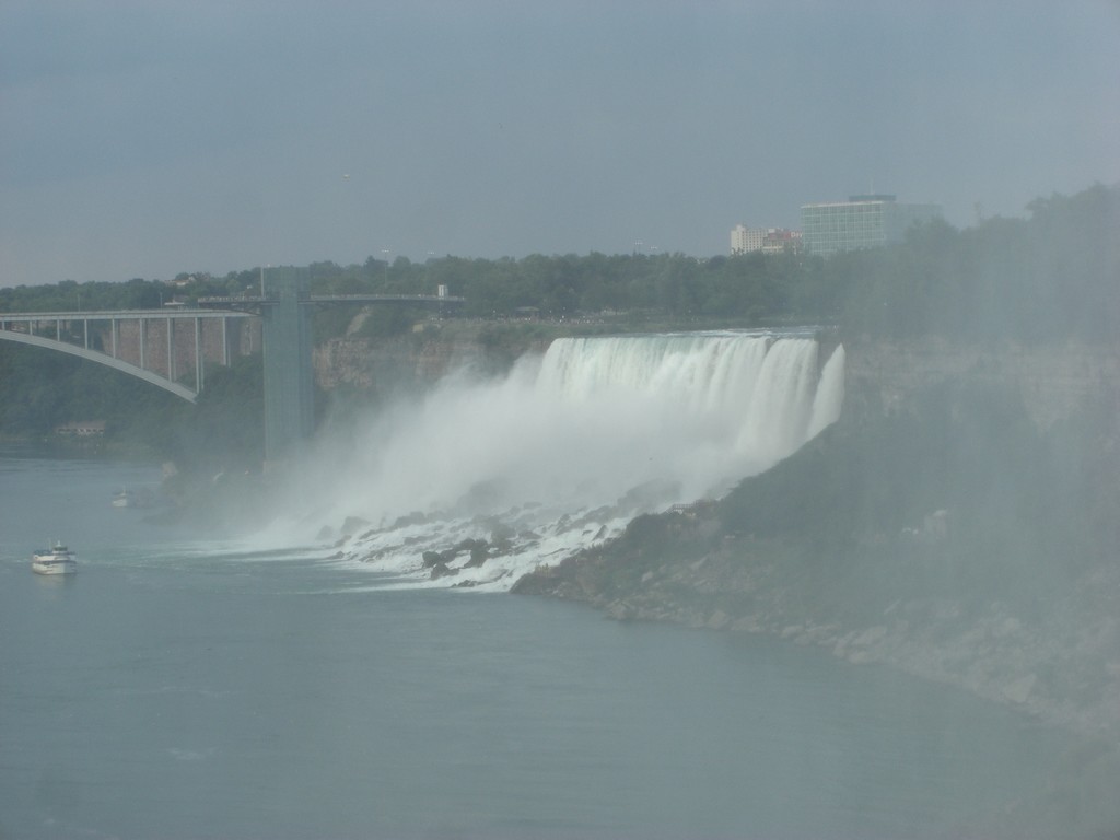
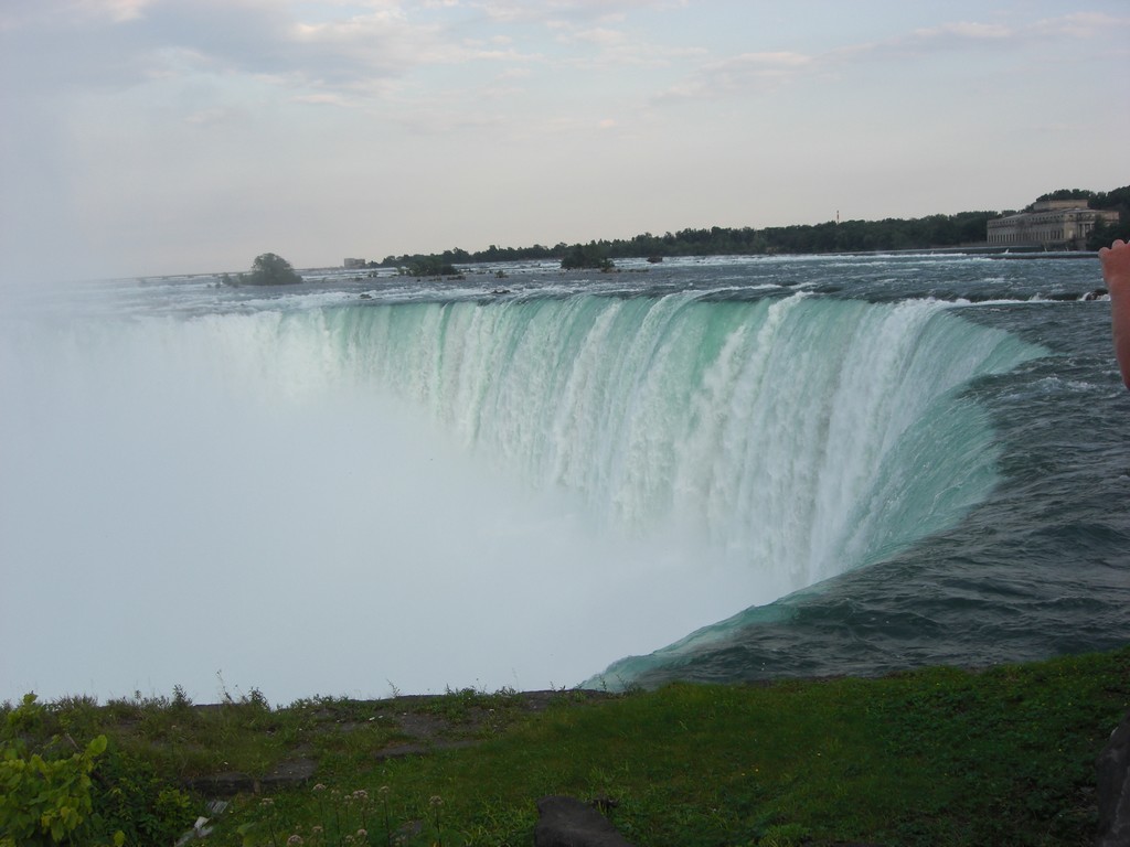
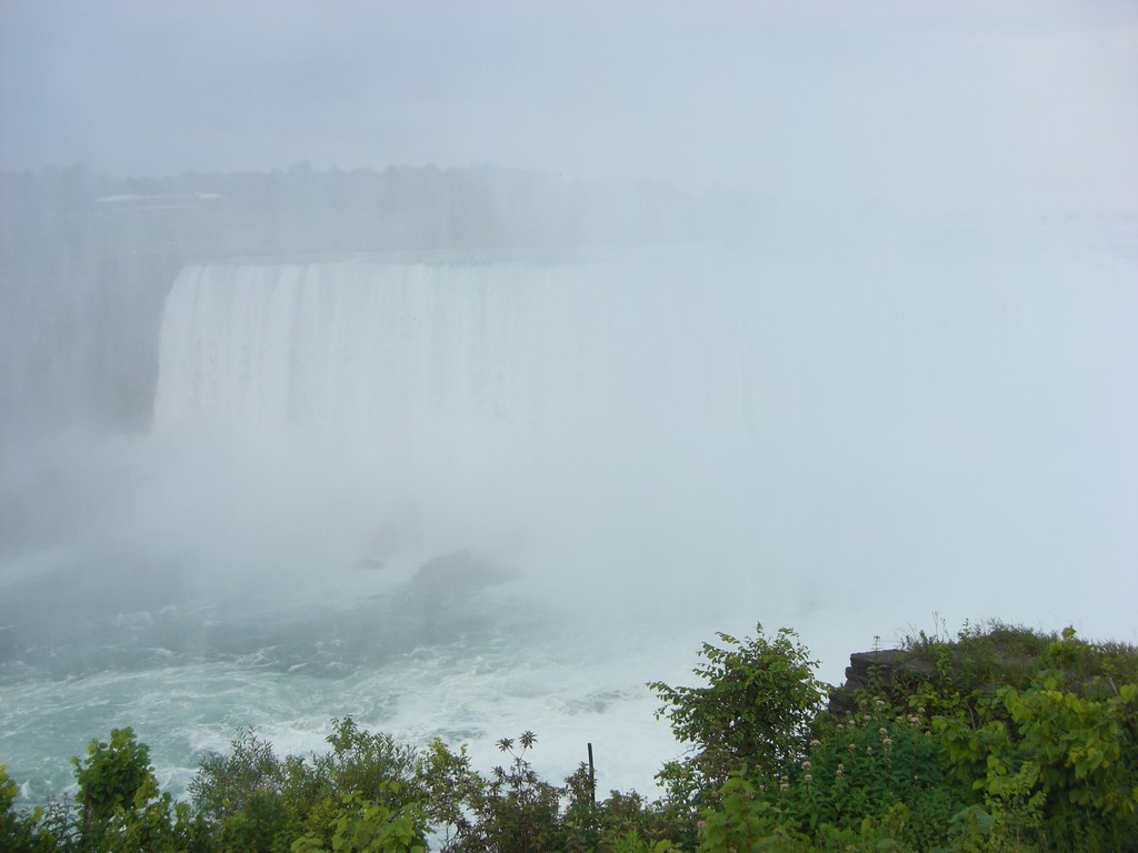
I finally made it to Niagara Falls late in the evening, and took some pictures before the sun set. The view was impressive from the Canadian side.
 |
 |
 |
 |
 |
 |
I then got back on the highway and backtracked to find a campsite I had seen on the way to Niagara Falls. After I got set up, I decided to look at my power outlets on the bike since I had been unable to charge my phone that day. I was reading 13.6V at the outlet with the bike off, which told me two things. First, that there might be a bad connection to my outlets and that might also the root cause of my GPS mount problem. Secondly, I might have battery trouble in the future. Batteries should read somewhere around 12.5V with the bike off, and a high reading indicated trouble was coming. The bike had been cranking a little slower earlier in the day, so I was already a little concerned.
I unwound the electrical tape from around the power switch and as I started to pull on a wire to disconnect it from the switch, I noticed a small arc like a connection had been made. I put the GPS back on the mount and it immediately turned on and started charging. I plugged my phone charger in and it too started charging. After wrapping it back up with some electrical tape, I went to bed.
| Prev | Index | Next |
Copyright (c) 2009 Paul Miner <$firstname.$lastname@gmail.com>