| Prev | Index | Next |
August 5, 2010
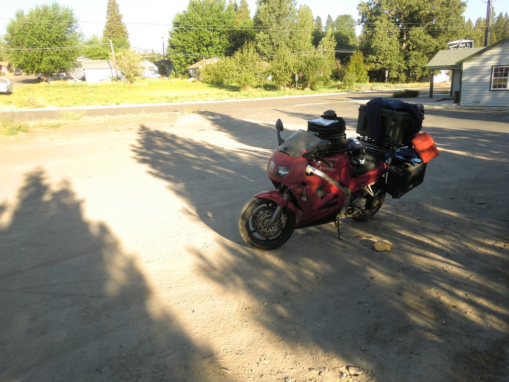
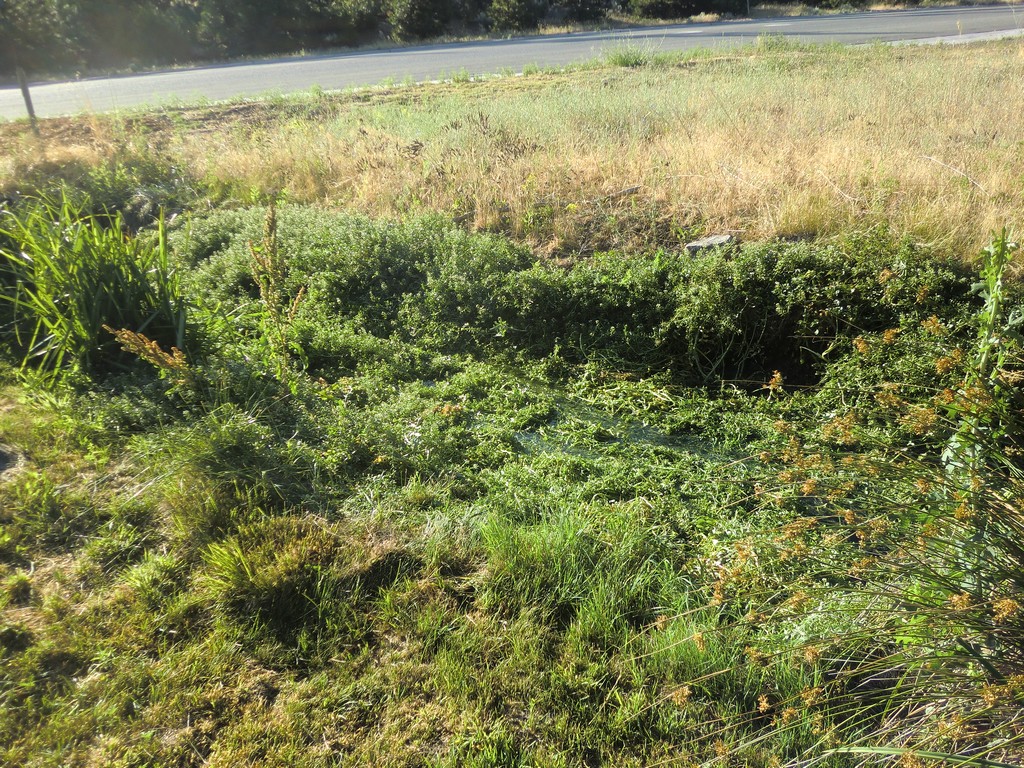
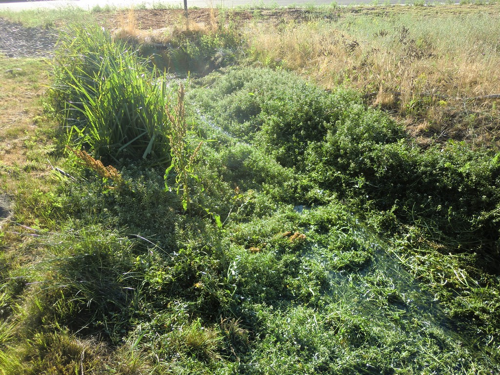
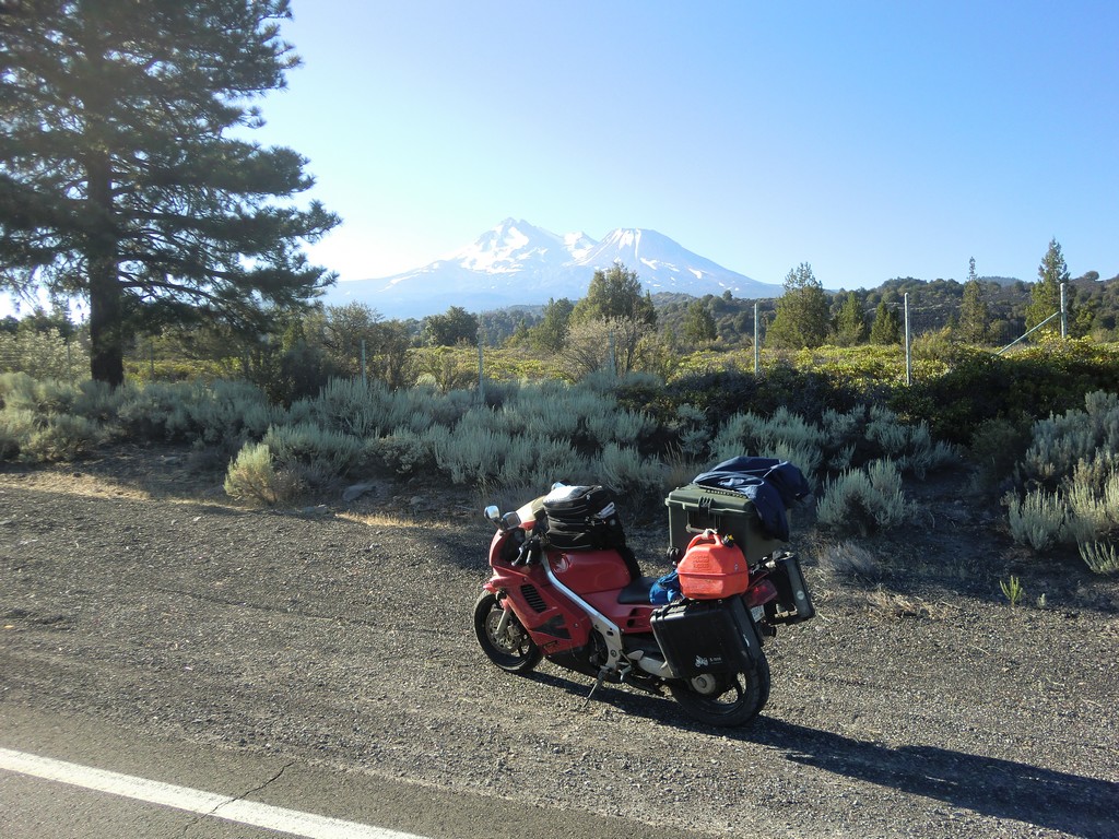
When I woke up, the sun was shining. I packed up and went back to have another look at the ditch. It was easy to see in the daylight, especially after I had trampled all the weeds down last night. It didn't look so bad, but I knew better now.
|
|
|
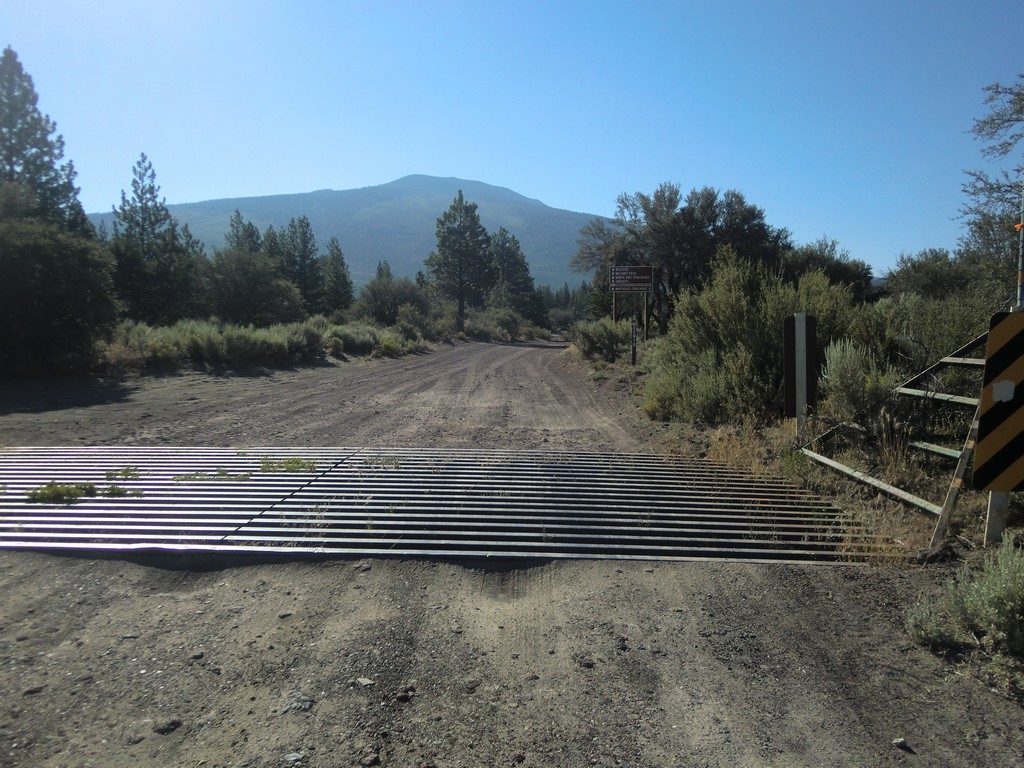
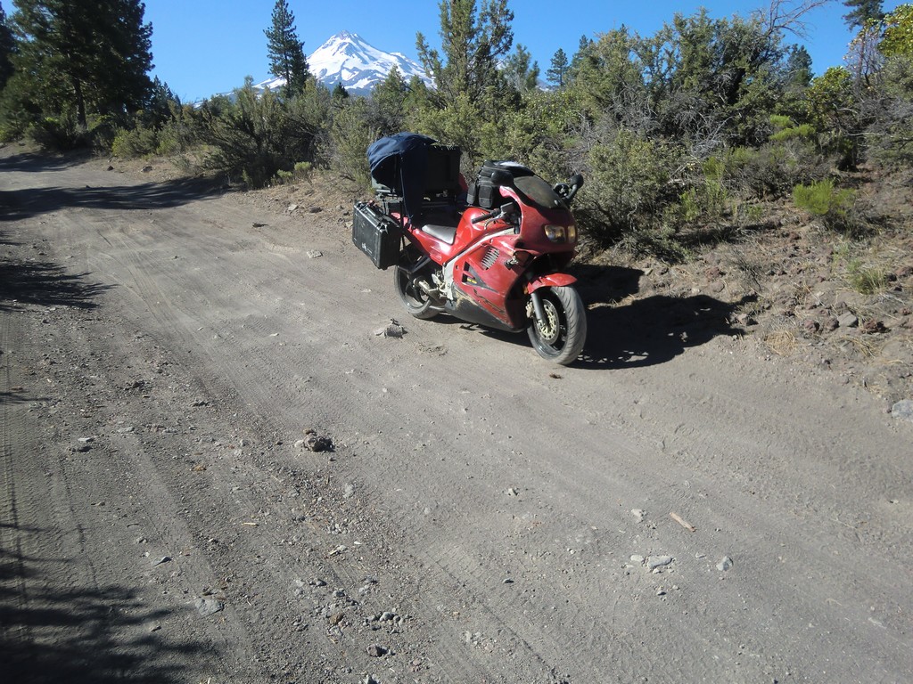
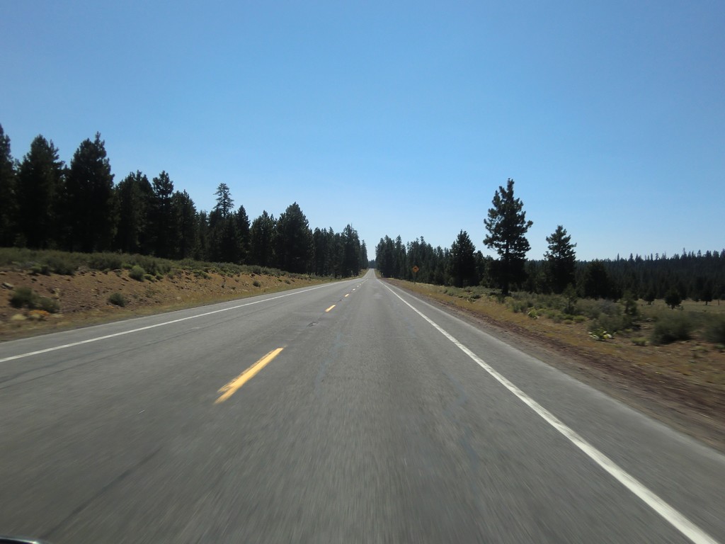
Instead of continuing south, I decided to look for Military Pass Road, which looked like an interesting road on the map. After passing it a couple times, I finally found the turnoff and headed down it. The road was very rough, big potholes bottoming out the suspension, and soft dirt the tires would sink into. I decided I'd had enough and turned around, almost getting stuck in the soft dirt on the edge of the road in the process. I later found some better roads through the area on Google Maps. It looks like they'd be a lot of fun on dirtbikes though.
 |
 |
 |
 |
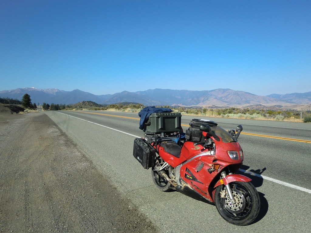
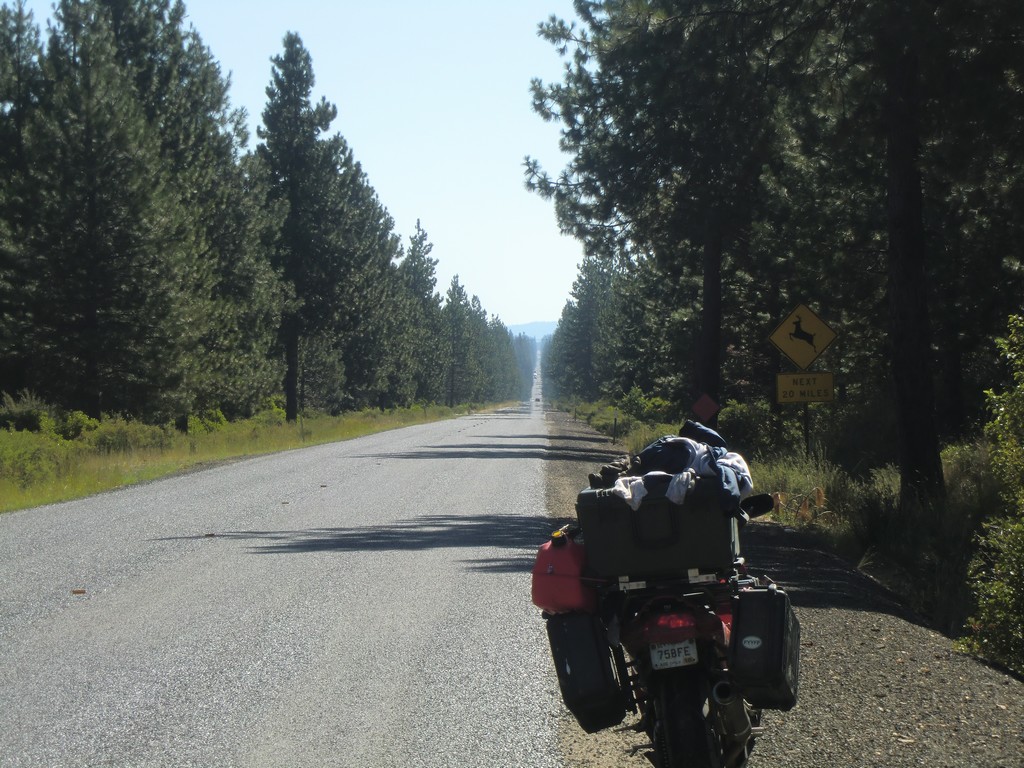
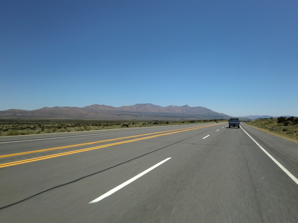
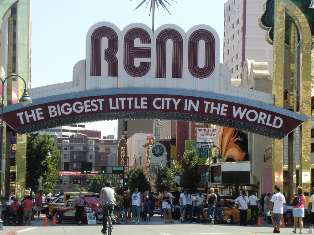
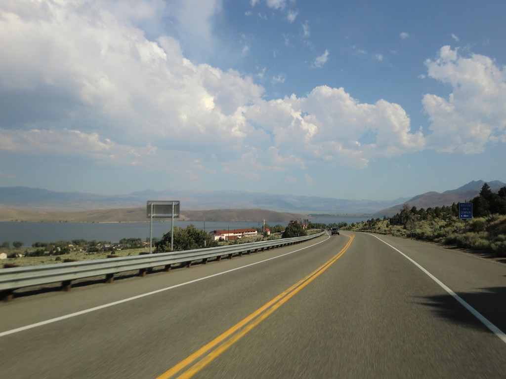
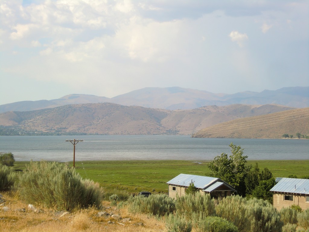
I started back south on 97 to get on I-5, but I soon exited to highway 89. I followed it through national parks to highway 44 to Susanville, and from there onto highway 395 across the border to Reno, NV. The landscape changed to desert as I traveled west and south. The heat was a nice change from the cool weather up north. As I crossed the border back into California, I had a nice view of Topaz Lake.
 |
 |
 |
 |
 |
 |
 |
 |
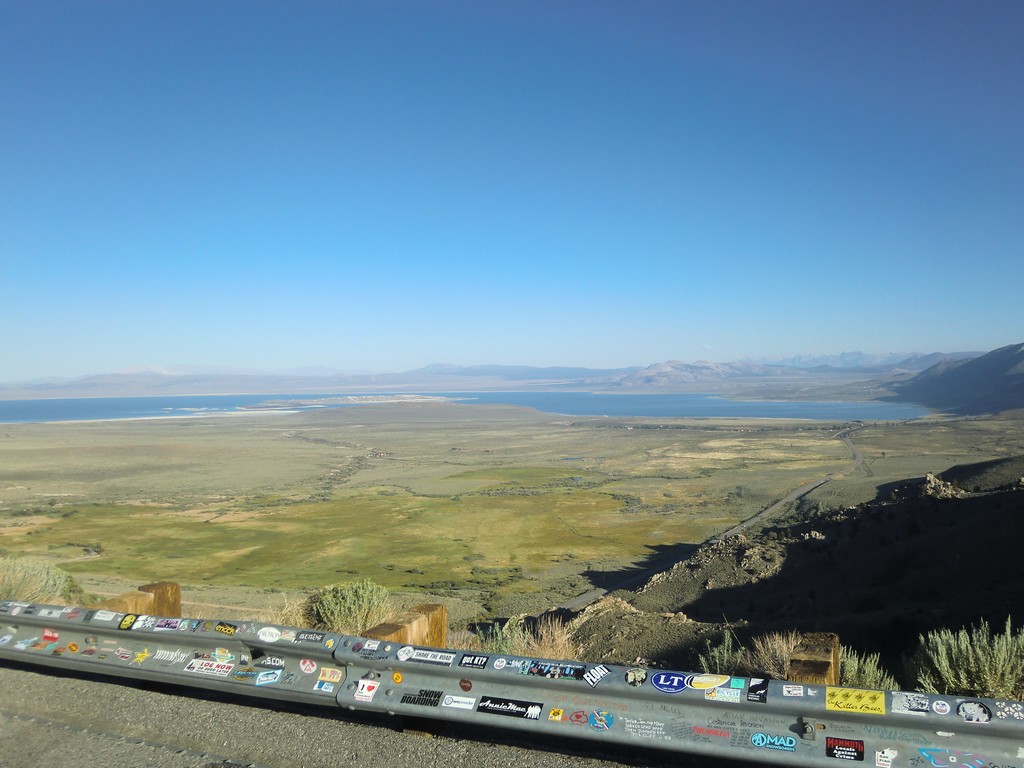
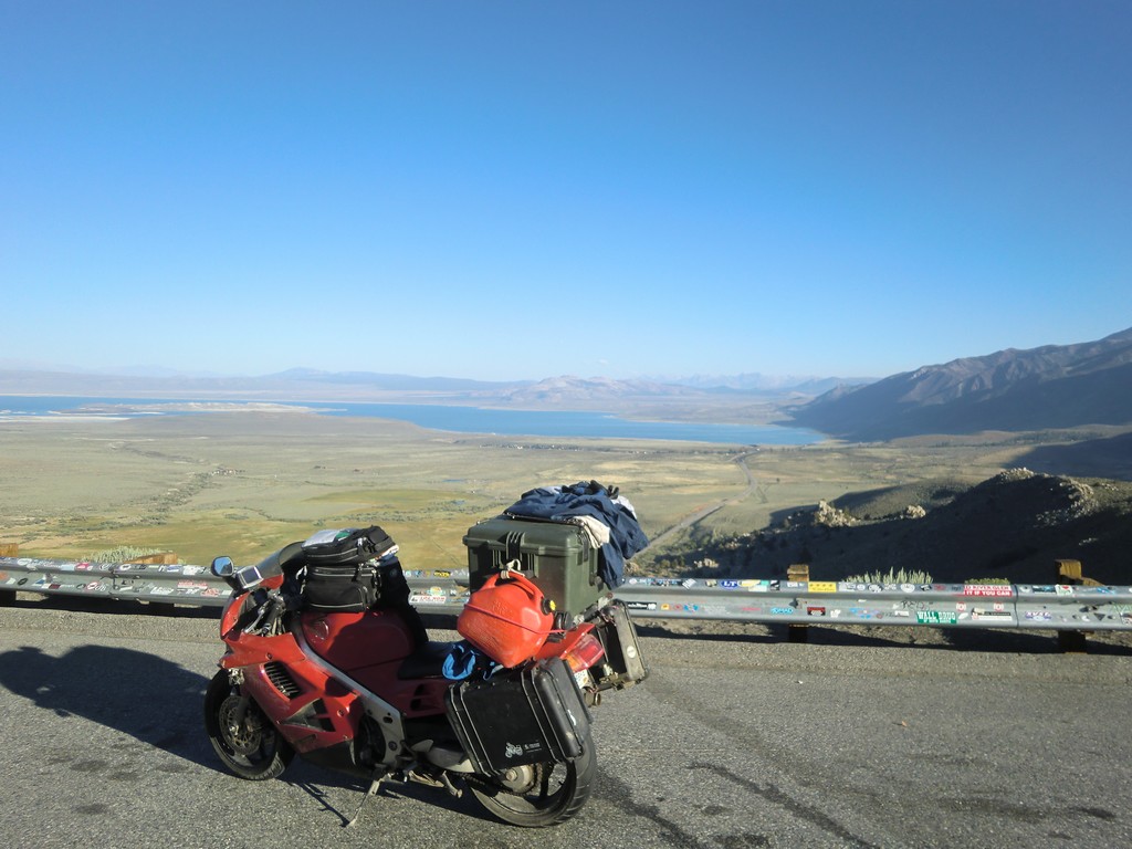
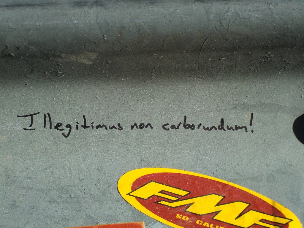
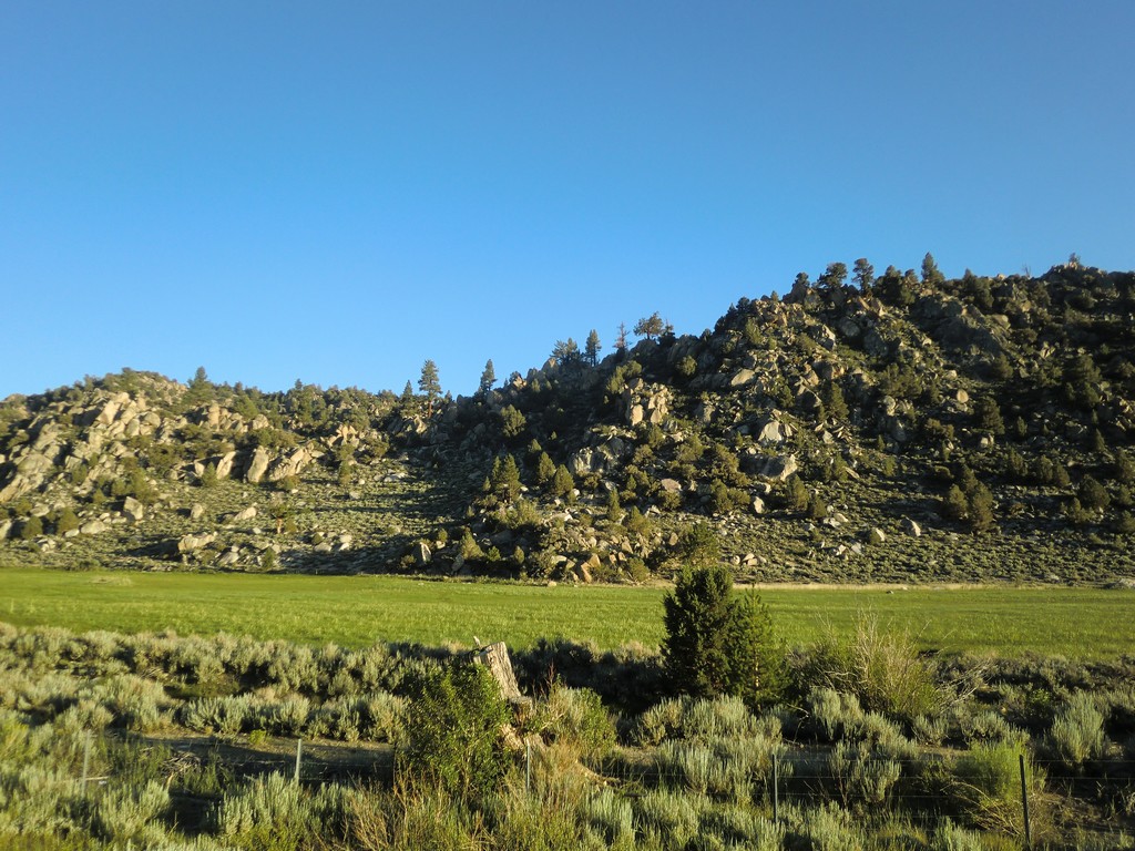
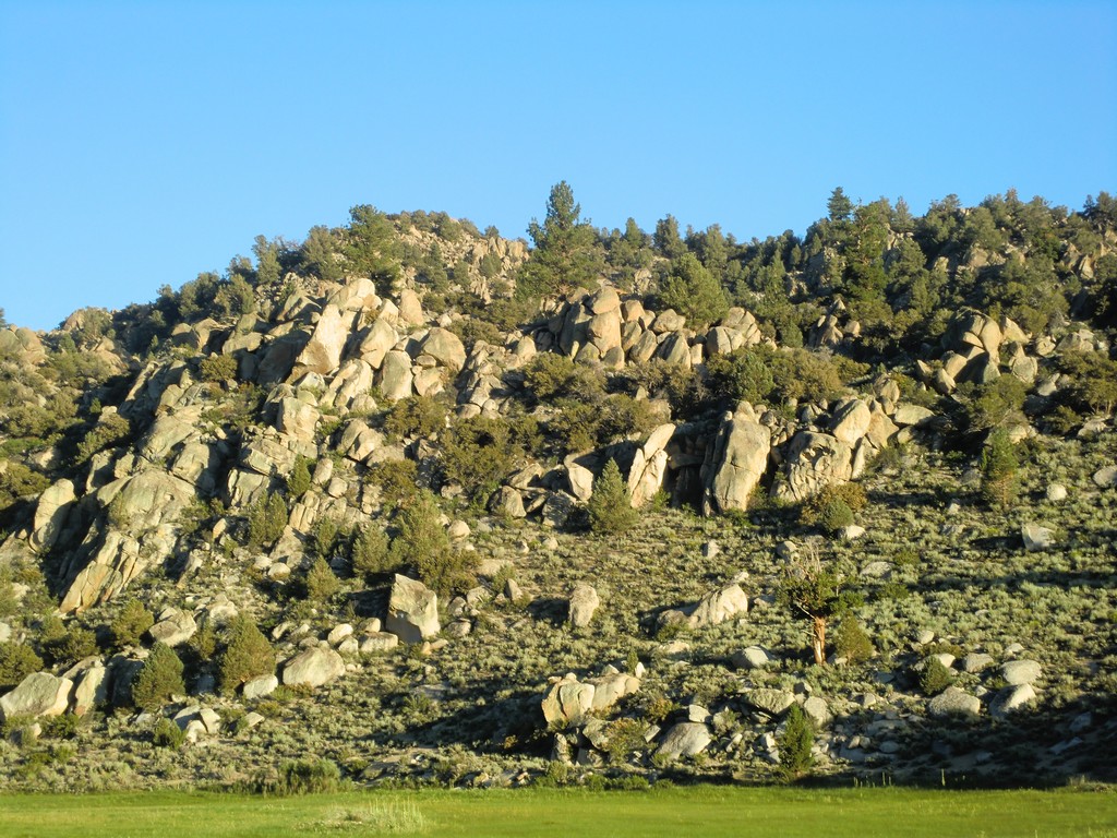
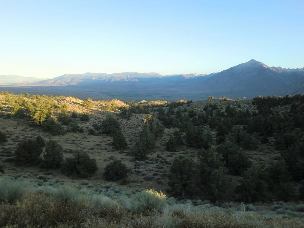
Continuing down 395, I passed through some mountain valleys and passes. The entire area is raised, at least a mile up, and some of the summits are over 8000 feet. The descent to Mono Lake was interesting, a drop of around 1500 feet in a short distance. There was a nice overlook of Mono Basin, and a section of guardrail covered in stickers and graffiti. I added my own little bit.
 |
 |
 |
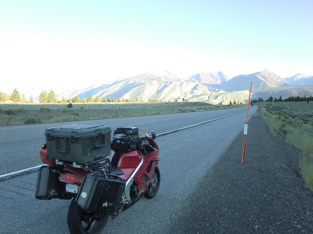
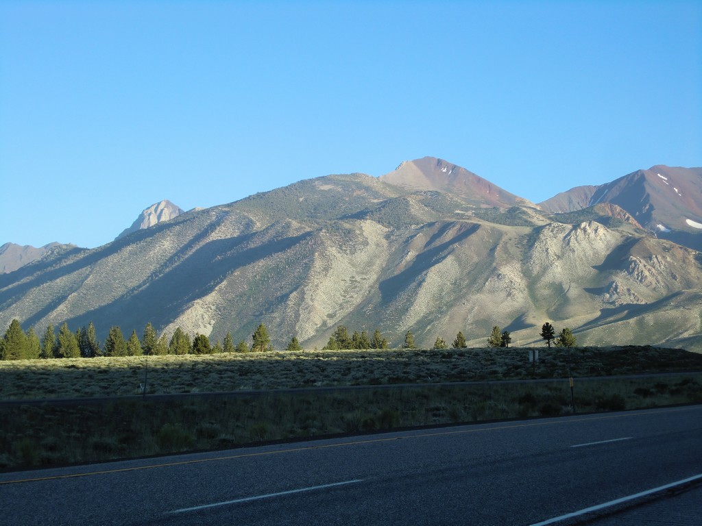
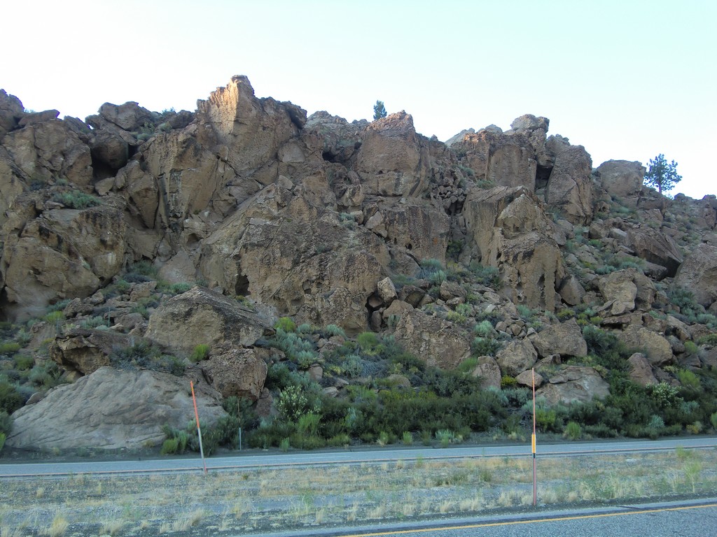
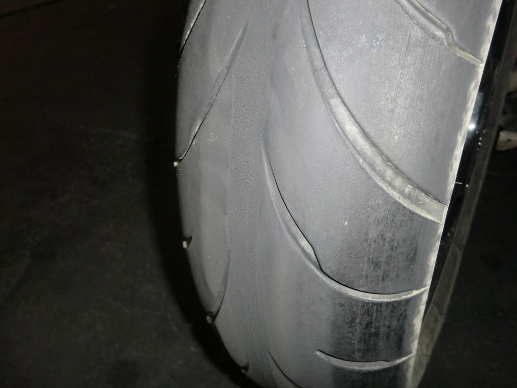
Similarly, the road dropped a couple thousand feet on the ride into Bishop, CA; I could feel the air warming as I descended. It was starting to get dark, so I stopped to eat before looking for a place to camp. While I was stopped, I noticed that the center of my rear tire looked unusual, like it was feathering. This was a sign my rear tire was about done for. I was looking at the last thin layer of rubber covering the cords. The slow leak wasn't helping matters either.
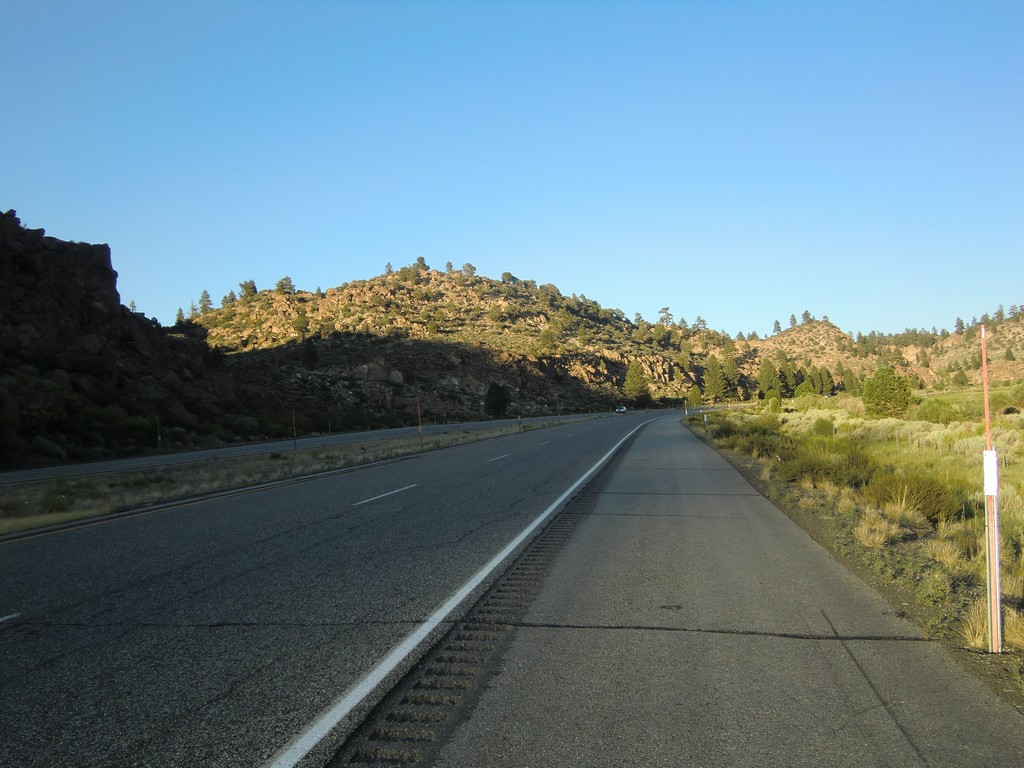
I had been watching the side of the road, and roadside camping wasn't looking very inviting. Tough tufts of vegetation stuck out of the desert everywhere, leaving very little clear space for a tent. When I got to Big Pine, CA, I started looking for the campground marked on my map. At first, I went down highway 168 to the northeast. It was a very dark road with no traffic the entire time I was on it. I could make out the silhouette of the mountains against the sky as I rode towards them. After a while, I figured I realized my mistake and turned back to 395.
After getting back on 395, I found the turnoff for the Baker Creek campground just a block down the road. Between the clear sky and the distance from big cities, I noticed how very dark it was, and I could see the stars very well out there. I set up my tent, stayed up a bit looking over my map, and went to sleep.
 |
 |
 |
 |
 |
 |
 |
 |
| Prev | Index | Next |
Copyright (c) 2010 Paul Miner <$firstname.$lastname@gmail.com>